
After the death of Solomon, the nation of Israel divided into Israel (the northern kingdom) and Judah (the southern kingdom). With the introduction of calf worship by Jeroboam, the kingdom of Israel never recovered. Eventually the kingdom fell to the Assyrians between 732 and 721 B.C.
In the southern kingdom of Judah (the House of David) it was different. From the time of king David onward (1110–970 B.C.) all of the kings of Judah were his descendants. Some of them were faithful to the LORD and others were not. There were departures from the way of the LORD into idolatry.
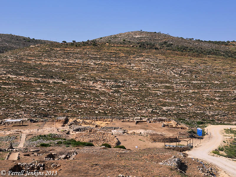
A visit to the Israel Museum, or to a variety of sites, will provide numerous illustrations of this idolatry. One example comes from Beersheba (Beer Sheva). The archaeological excavation at the site is well marked for the benefit of the visitor. Before entering the tel one passes through a square in which stands “a reconstructed replica of a large, sacrificial four-horned altar whose stones were discovered incorporated into a storehouse wall.” (This statement comes from a beautiful brochure provided for visitors by the Israel Nature and Parks Authority.
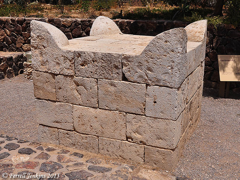
Reconstructed four-horned altar from Beersheva. Photo by Ferrell Jenkins.
The brochure continues,
The altar shows that the city had a cultic structure, built in the framework of the religious administration of the Judean monarchy. Its dismantling and burial attest to a change in the kingdom’s ritual customs. Based on the dating of Stratum 2 at the end of the eighth century BCE, the abolishment of the cultic site was connected to the religious reform initiated by King Hezekiah of Judah according to the Bible. (The temple discovered at Tel Arad was also done away with in this reform.)
The original four-horned altar is now displayed in the Israel Museum.
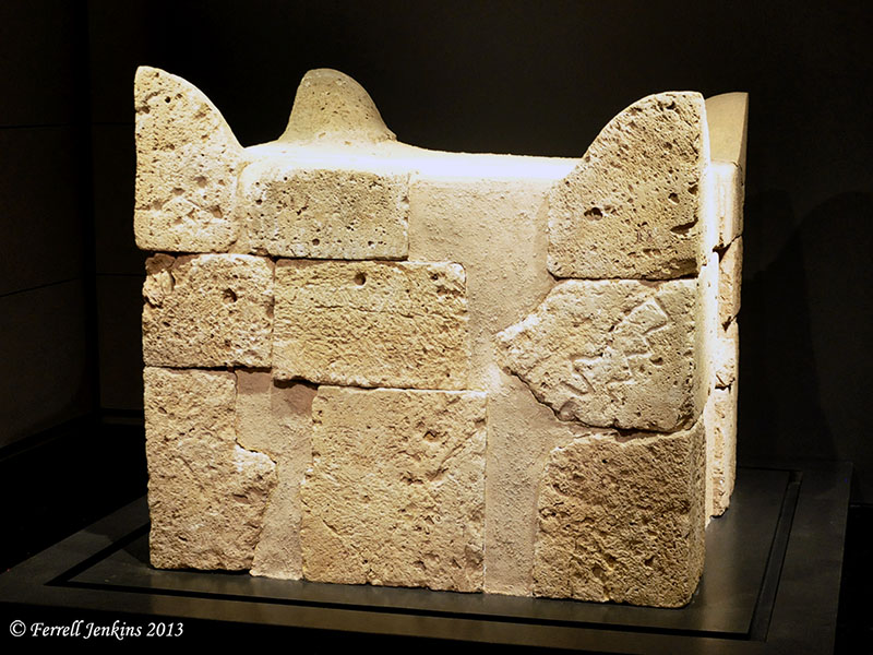
The four-horned altar from Beersheba. Israel Museum. Photo by Ferrell Jenkins.
The reforms of King Hezekiah of Judah (716/15–687/86 B.C.; Thiele) are described in 2 Kings 18.
He removed the high places and broke the pillars and cut down the Asherah. And he broke in pieces the bronze serpent that Moses had made, for until those days the people of Israel had made offerings to it (it was called Nehushtan). He trusted in the LORD, the God of Israel, so that there was none like him among all the kings of Judah after him, nor among those who were before him. (2 Kings 18:4-5 ESV)


You must be logged in to post a comment.