
After his presentation in the Temple, there is no record of Jesus returning to Jerusalem until he is 12 years of age.
Now his parents went to Jerusalem every year at the Feast of the Passover. And when he was twelve years old, they went up according to custom. (Luke 2:41-42 ESV)
When the Feast of the Passover ended, his parents began the return to Nazareth. We can easily imagine that a large caravan of people were traveling together on this trip that would take several days. Jesus stayed behind in Jerusalem spending time among the teachers, “listening to them and asking them questions.” Because Mary and Joseph had relatives and acquaintances in the caravan they assumed that Jesus was among them until the end of the first day.
Keener provides some background on caravan travel.
Caravans, which afforded protection from robbers, were common on pilgrimages for the feasts in Jerusalem. Traveling with a caravan, in which neighbors from their town would watch the community children together, Mary and Joseph might assume that the near-adult Jesus was with companions, especially if by now they had younger children to attend to. If we assume a pace of twenty miles per day (though perhaps slower, depending on transportation and the children), Nazareth would be a little over three days’ journey along the shortest route. (Keener, C. S., The IVP Bible background commentary: New Testament)
Where did Mary and Joseph stop at the end of that first day of travel? We can not be certain of the route taken from Jerusalem to Nazareth. Travel from Galilee to Jerusalem was often through Perea on the eastern side of the Jordan Valley. We later find Jesus traveling north along the central mountain range through Samaria (John 4).
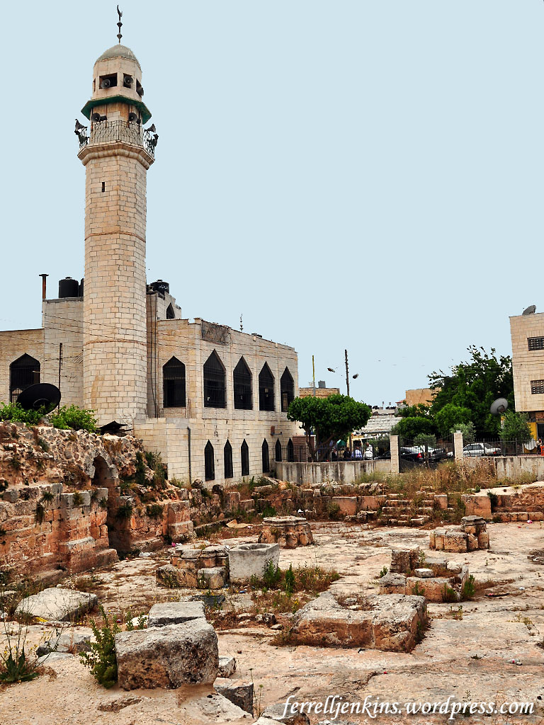
Ruins of medieval church beneath a Mosque in El Bireh. Photo by Ferrell Jenkins.
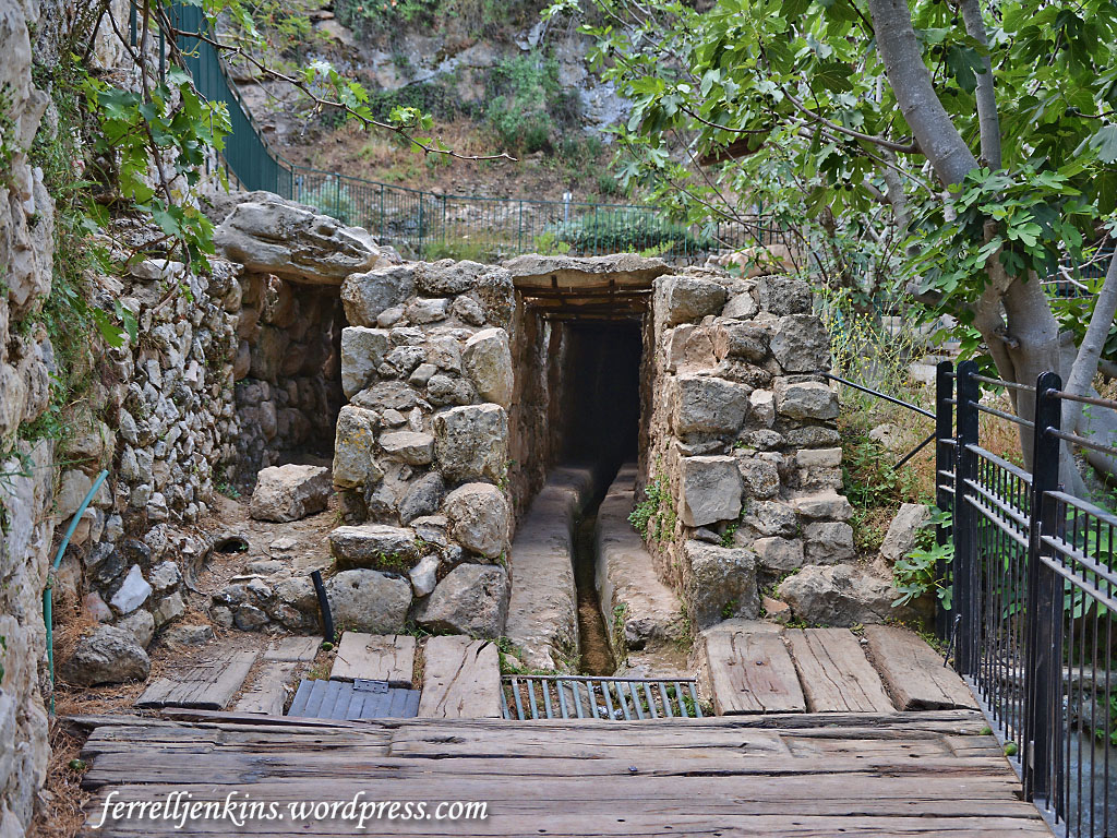
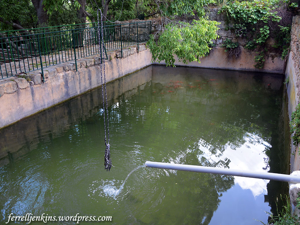
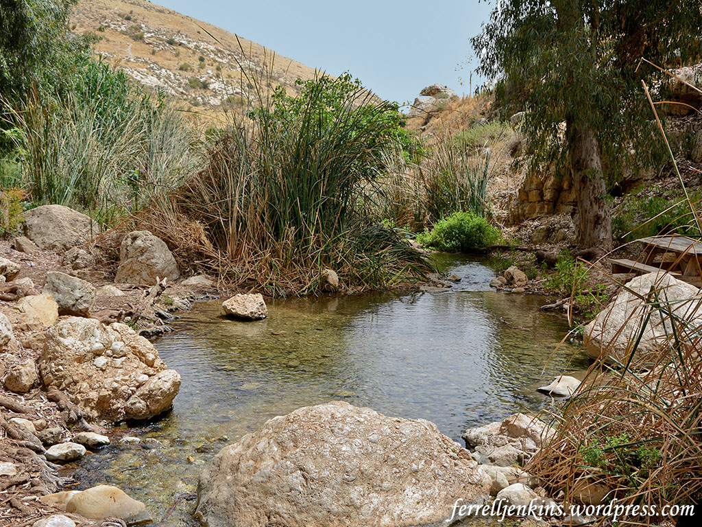
Tradition identifies the stop at el-Bireh (El Bira). Tradition has it that the first day’s stop after leaving Jerusalem was at a place now known as El Bira (or Bireh) east of Ramallah. El Bira is an Arab town. There is a spring and ruins of a medieval church. The Hachette World Guides: The Middle East (1966) says that the tradition associating this event with El Bireh dates to the 16th century. Eugene Hoade says it is probable that this church was built in 1146 “in memory of” the event mentioned in Luke 2. (Guide to the Holy Land). The apse of the church is visible in the photo below. The Hachette World Guide says the building was destroyed in 1915 and the stones were used for building bridges along the mountain route.
Ruins of medieval church beneath a Mosque in El Bireh. Photo by Ferrell Jenkins.
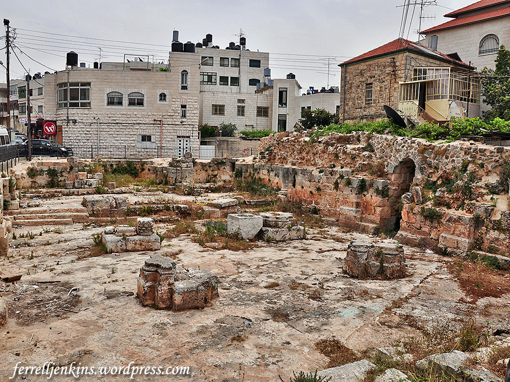
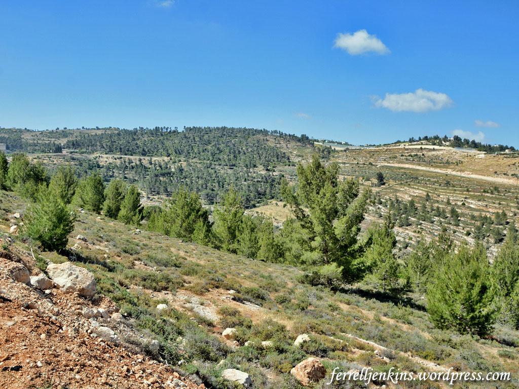
This site is only about 8 miles north of Jerusalem, but with a large caravan including women and children it is possible that a short distance was covered the first day. It was necessary to stop where water and various food supplies were available (John 4:6-8; Luke 9:51-53).
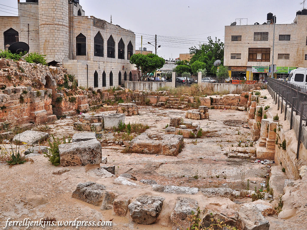
View of the ruins of the church at El Bireh. The apse is visible in the foreground. Photo by Ferrell Jenkins.
Is this Beeroth? Since the time of explorer Edward Robinson (1867), some scholars have identified El Bireh with the Old Testament Gibeonite city of Beeroth. The word Beeroth indicates the presence of a well. Biblical references include Joshua 9:17, 18:25, Ezra 2:25, and Nehemiah 7:29. Beeroth was considered part of the tribe of Benjamin (2 Samuel 4:2).
The late David Dorsey, after surveying the scholarship on the matter, says,
At present, therefore, the site of biblical Beeroth remains a matter of dispute. The most likely candidate would still seem to be the one originally proposed by Robinson, i.e., el-Bireh. (The Anchor Yale Bible Dictionary)


You must be logged in to post a comment.