
This photograph of the Sea of Galilee and Mount Arbel was made from highway 807.
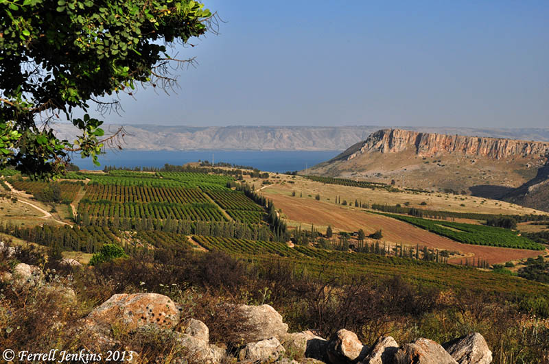
The Sea of Galilee and Mount Arbel from the NW. Photo by Ferrell Jenkins.
From this point we can see the east side of the Sea of Galilee. Today we know it as the Golan Heights. In Old Testament times it was known as Bashan (Joshua 21:27). Golan was one of the cities of Refuge located in the area. In New Testament times this was the area of the Decapolis (Mark 7:31), and probably the country of the Gadarenes (Matthew 8:28).
Below Mount Arbel runs the Via Maris, the main road leading from the Turan Valley to Capernaum. This road allowed travel and commerce between Capernaum, Magdala, and Tiberias with the cities of Nazareth, Cana, Sepphoris, and Jotapata.

You must be logged in to post a comment.