
The first headline I clicked on this morning when Haaretz arrived was the one reading “Second Temple-era Soapbox Found in City of David?” I located the IAA press release, and then a few hours later my inbox was loaded with links to various coverage of the find.
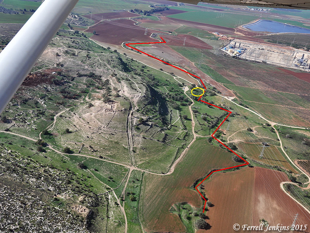
Several years ago the archaeologists working in the City of David uncovered a staircase and a drainage channel leading from the Temple Mount to the Pool of Siloam.
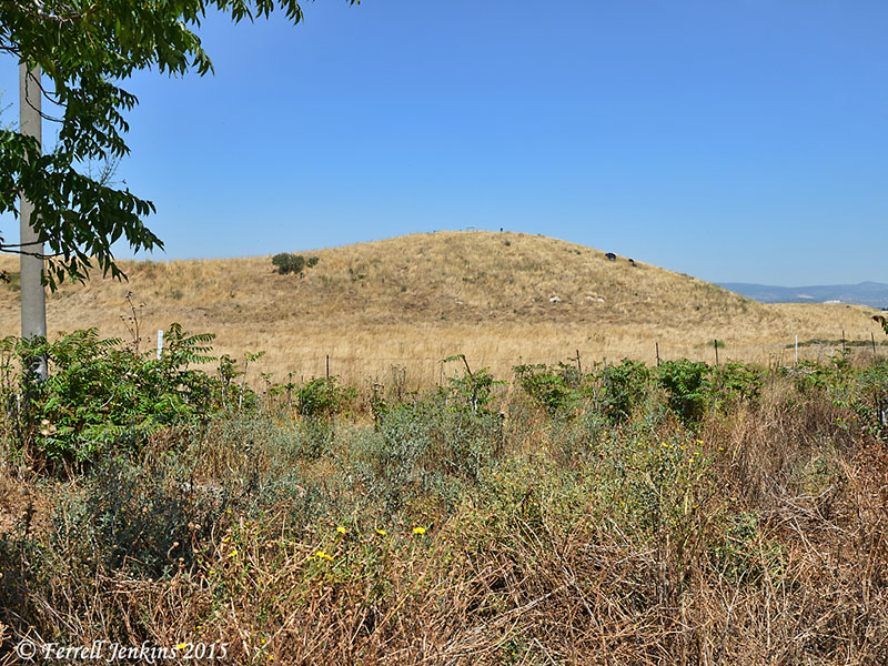
My group was one of the first to walk through the drainage channel in May, 2010. See my report and photos here.
Here is a photo of the steps leading from the Pool to the Temple Mount.
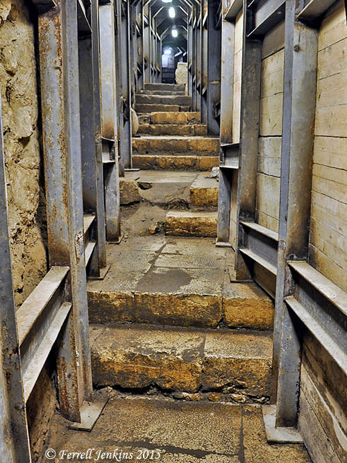
Steps leading from the Pool of Siloam to the Temple Mount. Photo by Ferrell Jenkins.
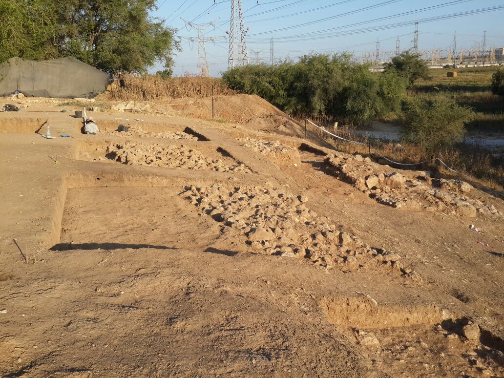
The discovery we report today was somewhere along those steps. The press release issued today by the Israel Antiquities Authority says,
This structure, situated alongside the 2,000 year old Second Temple stepped street, which carried pilgrims on their way from the Shiloah (Siloam) Pool to the Temple, which stood atop the Temple Mount. The street, a section of which was excavated in the past, is remarkably well-preserved and is built of enormous stone slabs. The street most likely runs above the 2,000 year old drainage channel, discovered a number of years ago, which carried rain water out of the city. It was constructed sometime in the fourth decade of the first century CE, and was one of the largest construction projects undertaken in Jerusalem during the Second Temple period. Dozens of whole pottery vessels, stone vessels and glassware were found at the foot of the pyramid-shaped staircase.
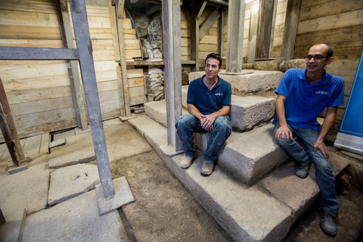
Szanton and Uziel sit on the recently uncovered podium. Photo: IAA
According to archaeologists Nahshon Szanton and Dr. Joe Uziel, who direct[ed] the excavation on behalf of the Israel Antiquities Authority, “The structure exposed is unique. To date such a structure has yet to be found along the street in the numerous excavations that have taken place in Jerusalem and to the best of our knowledge outside of it. For this reason, its exact use remains enigmatic. The structure is built along the street in a place that is clearly visible from afar by passers-by making their way to the Temple. We believe the structure was a kind of monumental podium that attracted the public’s attention when walking on the city’s main street. It would be very interesting to know what was said there 2,000 years ago. Were messages announced here on behalf of the government? Perhaps news or gossip, or admonitions and street preaching – unfortunately we do not know. Bliss and Dickie, two British archaeologists who discovered a small portion of this structure about 100 years ago, mistakenly thought these were steps that led into a house that was destroyed. They would certainly be excited if they could come back today and see it completely revealed.”
Rabbinic sources speak of an “auction block” where slaves could be sold, and of a “Stone of Claims” where one who had found an item might announce it and the owner might claim it. The IAA Press release provides the references here.
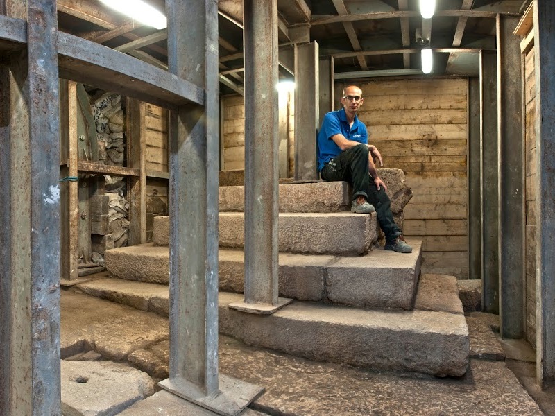
Dr. Joe Uziel seated on the top step of the “podium.” Photo: IAA.
The coin below, from the Second Temple period, was found in the destruction layer atop the street.
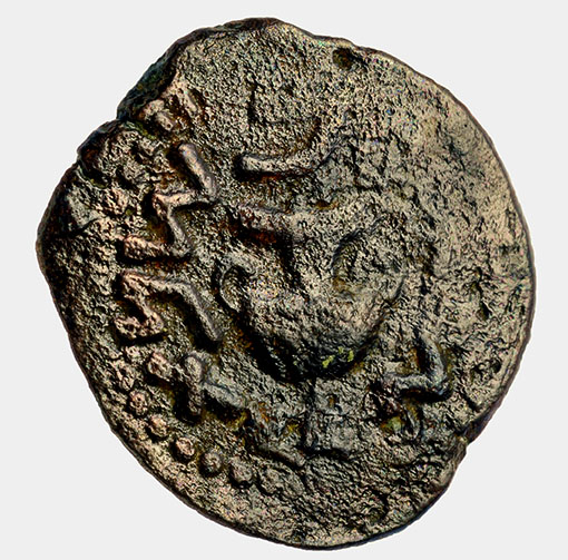
Coin from period of the Great Revolt against the Romans. Copyright Clara Amit, IAA.
We had already made a possible association of these steps with the blind man who left the Temple precinct to go to the Pool of Siloam at the bidding of Jesus (John 9).
A passage that now comes to my mind is from the Sermon on the Mount when Jesus teaches His disciples how to (and not to) pray.
And when you pray, you must not be like the hypocrites. For they love to stand and pray in the synagogues and at the street corners, that they may be seen by others. Truly, I say to you, they have received their reward. (Matthew 6:5 ESV)
HT: Joseph I Lauer for the additional links.


You must be logged in to post a comment.