Friday morning my wife and I joined three Biblical Studies faculty from Florida College, and a handful of other people, in the MOSI IMAX giant screen theater in Tampa to see the National Geographic Entertainment presentation of JERUSALEM.
The original producers of this film have been promoting it for several years, as you can see from the video that we posted nearly three years ago here. The current production is about 45 minutes in length. The thing that really makes the difference is the IMAX giant screen presentation.
JERUSALEM features three young ladies representing the three religions claiming Jerusalem as the home of their origin: Judaism, Christianity, and Islam. The girls guide the viewers through the crowded, winding streets of the Old City to the various religious sites of the city. There are a few scenes in other parts of the country: Capernaum, Caesarea Maritima, Joppa, Masada, and the Dead Sea. The only scholar represented in the film is Dr. Jodi Magness. She provides informed commentary about the archaeology of Jerusalem, but it is limited. Views of the Givati garage excavation are shown, but no historical context is provided.
For my part, the hoards of people scurrying through Damascus Gate, or to the Church of the Holy Sepulchre, or to the Western Wall is overdone. The three young ladies who serve as guides almost come face to face in one scene, but admit that they still know very little about one another.
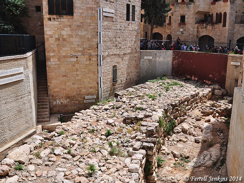
The best feature of the film (not shown at all in the video below), is taking ruins that remain and building reconstructions of the city in biblical times. One scene begins at the corner of the temple mount at Robinson’s Arch and builds into a model of the the biblical temple.
I don’t know if the film will be shown in Tampa, but it is showing in several cities. A full list, and other info about the film, is available here.
Jerusalem | Filmed in Imax 3D from JerusalemGiantScreen on Vimeo.
Having spent much time walking in the old city and viewing it from above, I knew where I was (in the film), but I am not sure that those who have little or no acquaintance with the city will find it anything but confusing.
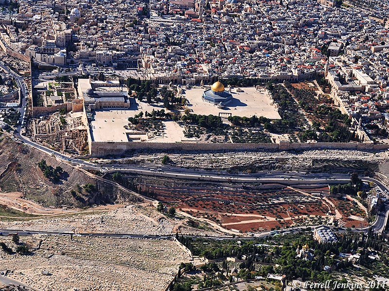
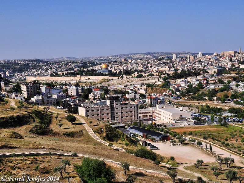
The aerial photo below was made from the east. It shows the western slopes of the Mount of Olives, the Kidron Valley, the Temple Mount, and a portion of the Old City buildings.

Aerial view of Jerusalem from the east. Photo by Ferrell Jenkins.


You must be logged in to post a comment.