
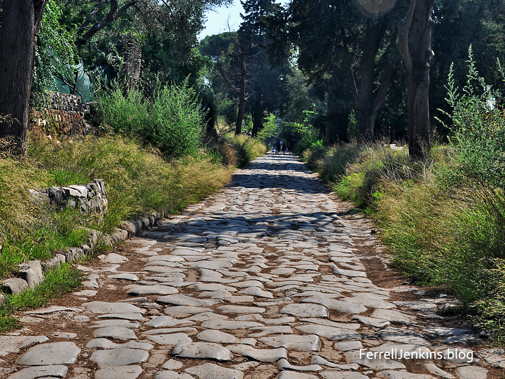
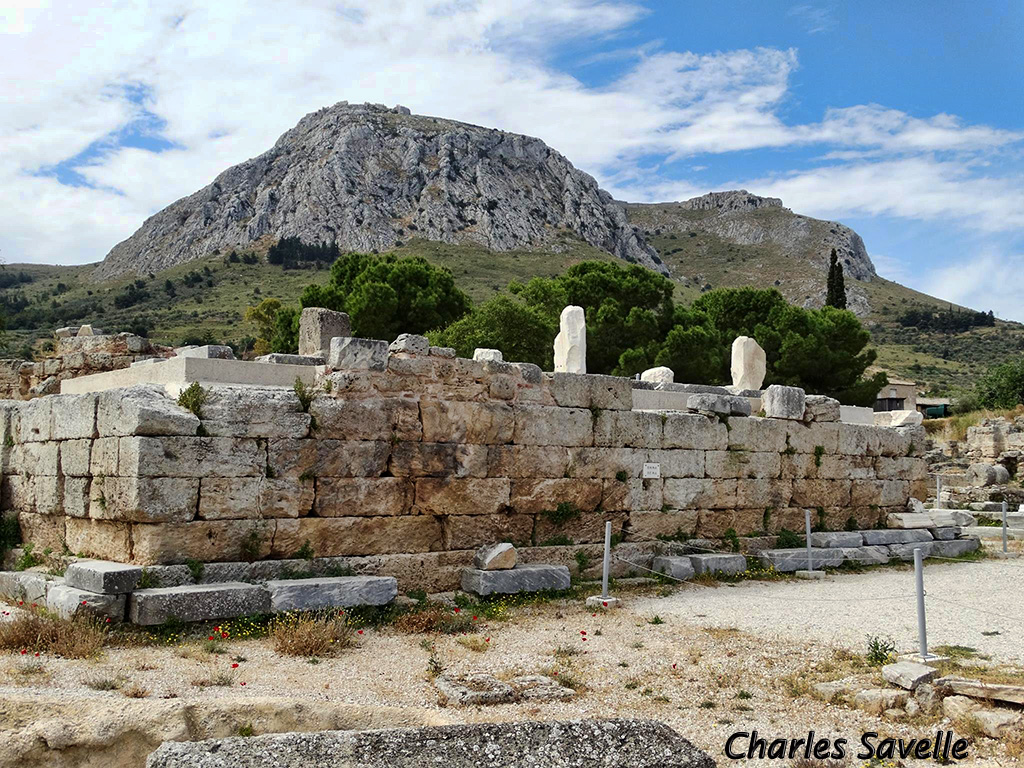
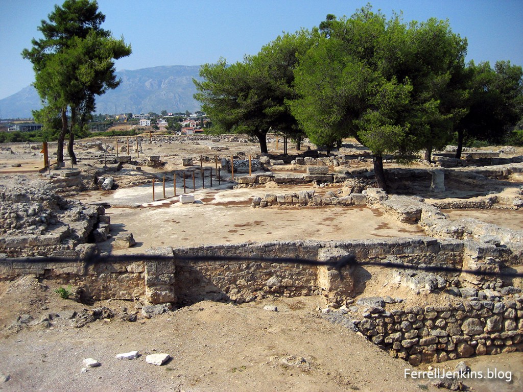
Corinth is located about two miles south of the narrow isthmus which forms the land bridge, and controlled access, between the main land mass of Greece and the Peloponnesus. Corinth seemed to have flourished from the 8th to the 5th centuries B.C., and there are signs of habitation much earlier. In 146 B.C. the Greek history of Corinth was terminated when the Roman consul Mummius destroyed it. All that remains today of the old Greek city are the seven columns of the Temple of Apollo. Julius Caesar rebuilt Corinth in about 46 /4 4 B.C. as a Roman colony and settled many Roman soldiers there. Corinth became the capital of the Roman province of Achaia and had direct communications with Rome. There were enough Jews in the city to account for a synagogue (Acts 18). Perhaps the two most noticeable sites at Corinth today are the ruins of the temple of Apollo and the Acrocorinth (the mountain or high point of Corinth). The temple of Apollo was built in the 6th century B.C., but only seven of the original 38 Doric monolith columns are standing. There were numerous other pagan temples in the city including one dedicated to Asklepios, the god of healing.

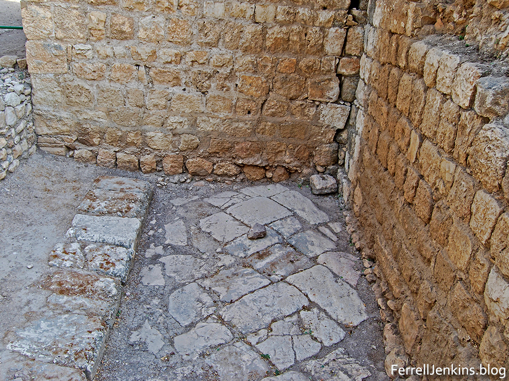
The judgment-seat (Greek, bema) was a speaker’s platform on which the judge sat or stood for the trial of one against whom an accusation had been made. In the excavations a t Corinth which have been conducted since 1896 the bema has been exposed in the agora. It is likely that Paul stood before Gallio at this place (Acts 1 8:12). The bema is dated to A.D. 44, but could be as early as the time of Augustus. The gospel was successful in this pagan city. Paul preached “Christ and Him crucified” (1 Cor. 2:2; 15:1-4). Paul was fearful but the Lord told him, “Do not be afraid any longer, but go on speaking and do not be silent; for I am with you, and no man will attack you in order to harm you, for I have many people in this ci ty” (Acts 18:9-10 ). Paul remained in Corinth for a year and six months.

Inscribed in a limestone pavement near the theater at Corinth is a phrase which reads in Latin: ERASTVS PRO AEDILITATE S P STRAVIT. The translation goes something like this: Erastus , in return for the aedileship, laid the pavement at his own expense. It is possible, but not certain, that this Erastus was the friend of Paul (Rom. 16:2-3; 2 Tim 4:20). If so, then Erastus may have been one of the few (contrast, not many) of the socially elite at Corinth who accepted the gospel (1 Cor 1:26).


You must be logged in to post a comment.