
Tuesday, August 1, 2017, many of the Jewish people recently will observe Tisha B’Av. This phrase, strange to Christians, means the Fast of the Ninth. The observance “is a day of mourning to commemorate the many tragedies that have befallen the Jewish people” (Judaism 101). According to this source, five terrible events took place on or near the ninth day of the month Av, the fifth month of the Jewish calendar.
The most significant of these events are the destruction of the Temple by the Babylonians in 586 B.C. (2 Kings 25:8-9; Jeremiah 52:12-13), and the destruction by the Romans in A.D. 70.
In the past half century a considerable amount of evidence has come to light concerning the destruction of Jerusalem by the Babylonians. The temple destroyed in 586 B.C. had been constructed by King Solomon in about 966 B.C. It was rebuilt by those who returned from the Babylonian Exile (530-516 B.C.).
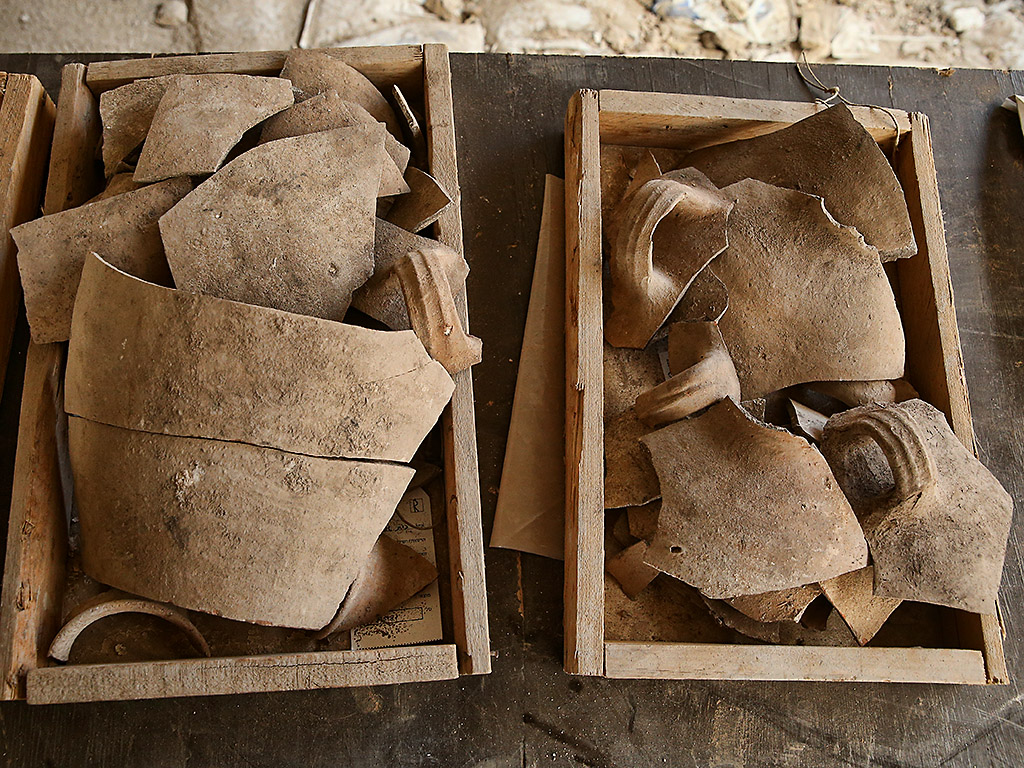
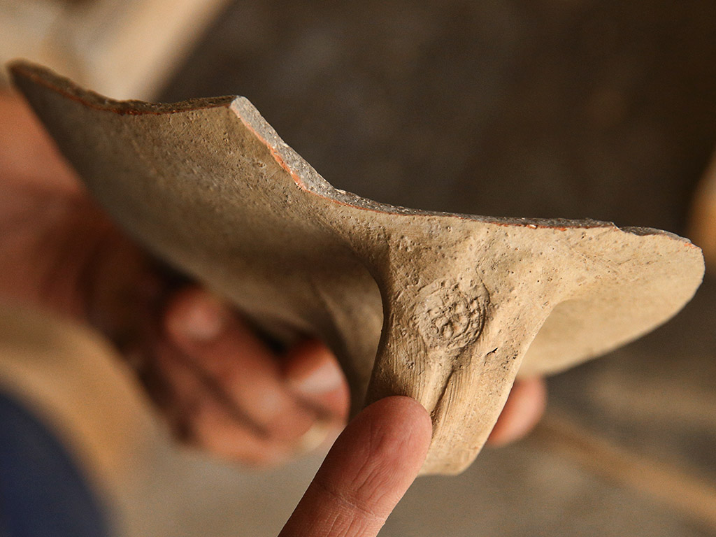
In the previous post we published the Israel Antiquities Authority release about additional evidence of the Babylonian destruction of Jerusalem found in the City of David. Take a look at the additional photos there.
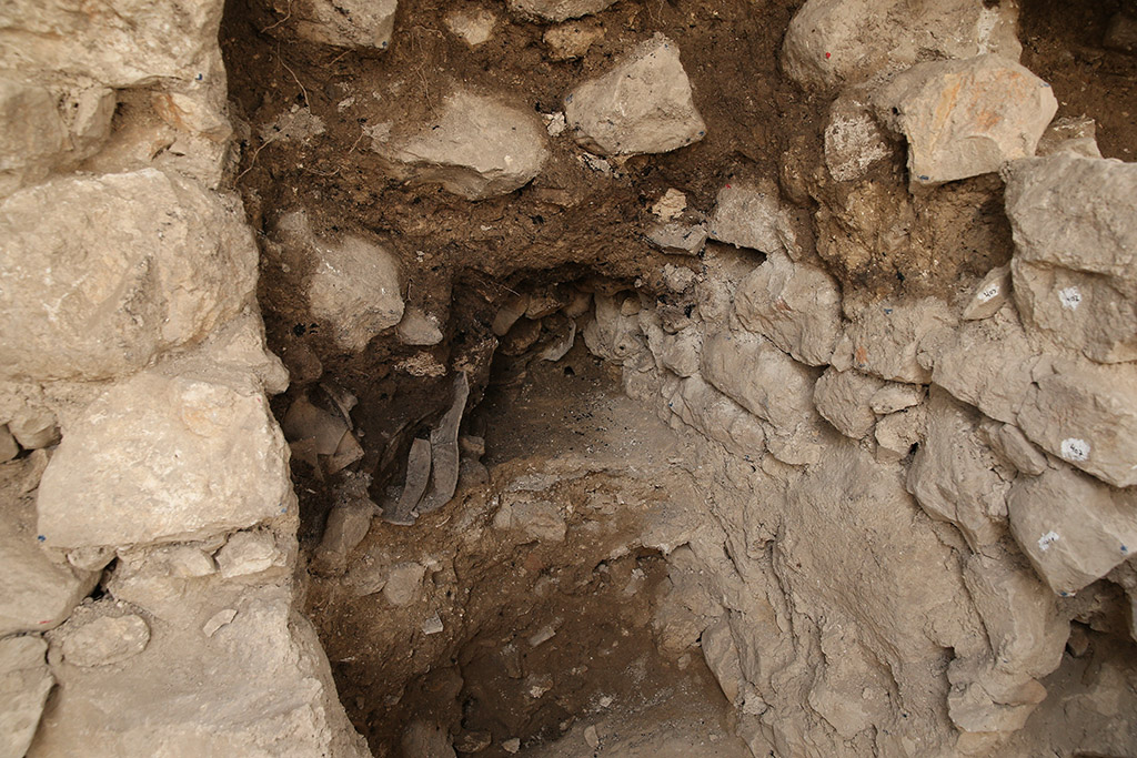
The structure in which shattered jugs were found, attesting to the destruction of Jerusalem by the Babylonians. The darker area near the center of the photo shows the burn level when the city was destroyed. Picture: Eliyahu Yanai, Courtesy of the City of David Archive.
Herod the Great began about 19/20 B.C. to rebuild the temple. This work was still in progress during the ministry of Jesus.
Then the Jewish leaders said to him, “This temple has been under construction for forty-six years, and are you going to raise it up in three days?” (John 2:20 NET)
Christians take seriously the prophecy of Jesus.
Now as Jesus was going out of the temple courts and walking away, his disciples came to show him the temple buildings. And he said to them, “Do you see all these things? I tell you the truth, not one stone will be left on another. All will be torn down!” (Matthew 24:1-2 NET)
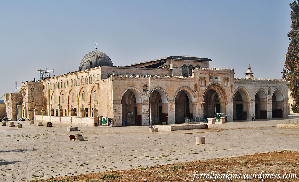
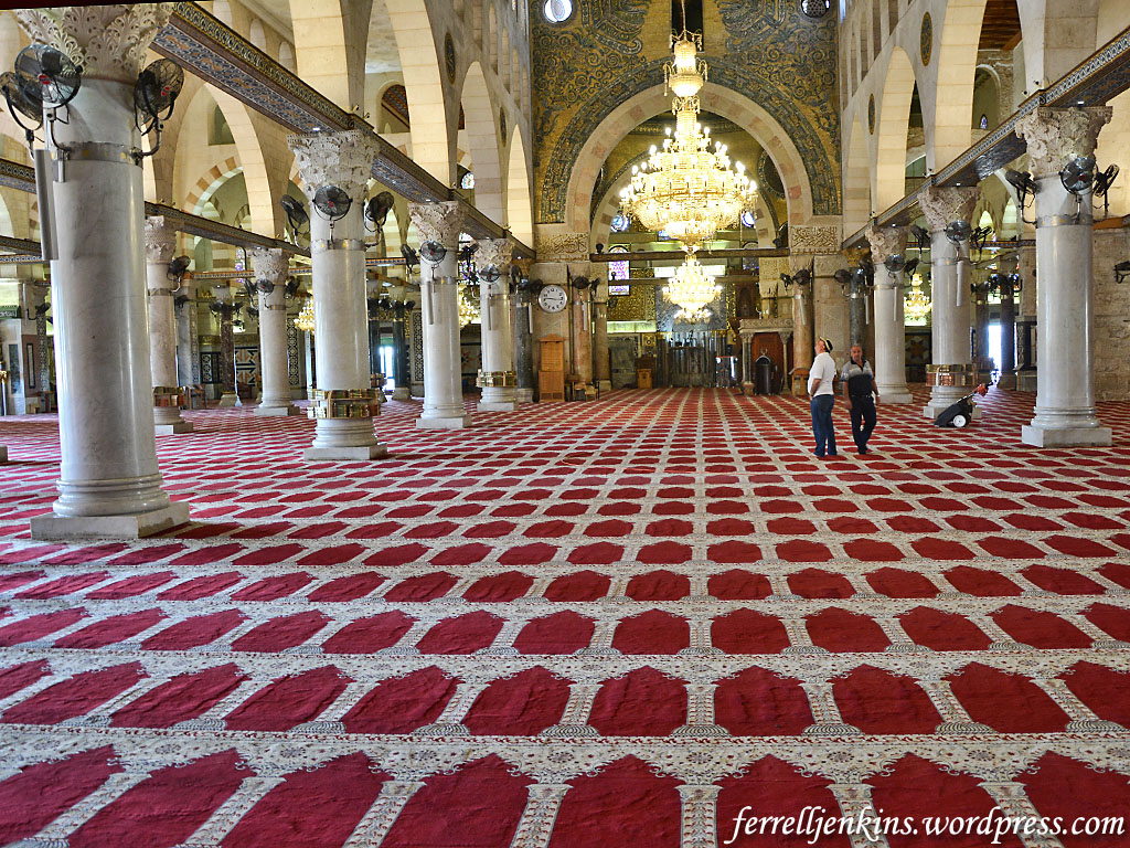
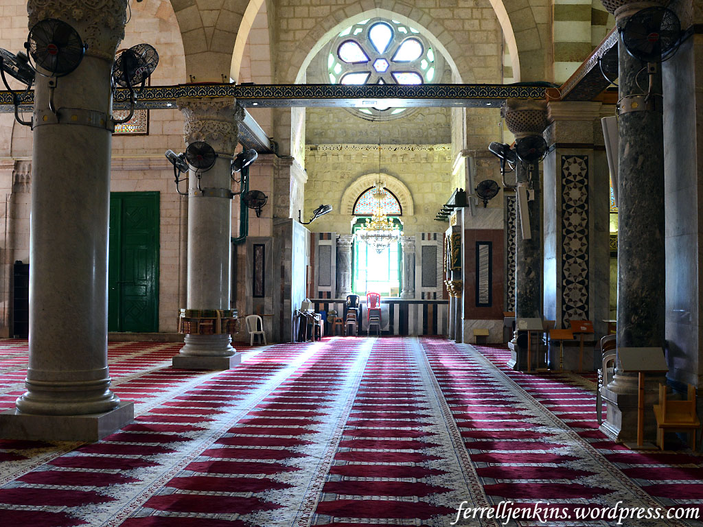
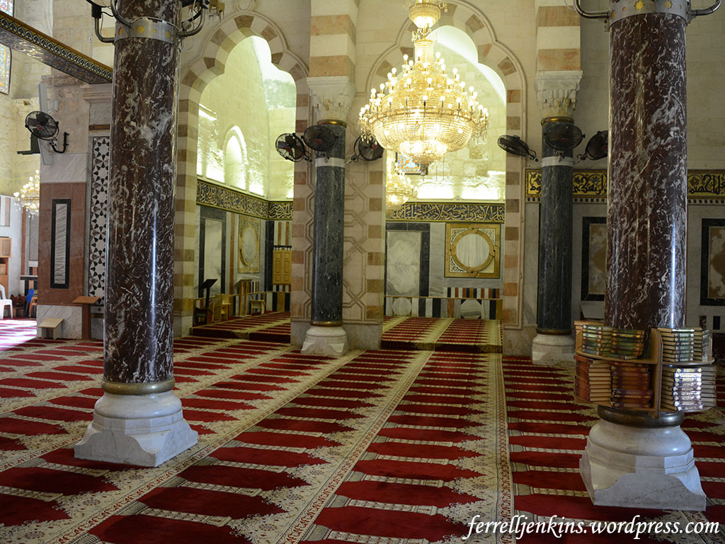
There is no archaeological evidence of the temple building itself. The site where the temple once stood is now covered with paving stones and the Dome of the Rock which was constructed by the followers of Mohamed in the 7th century A.D.
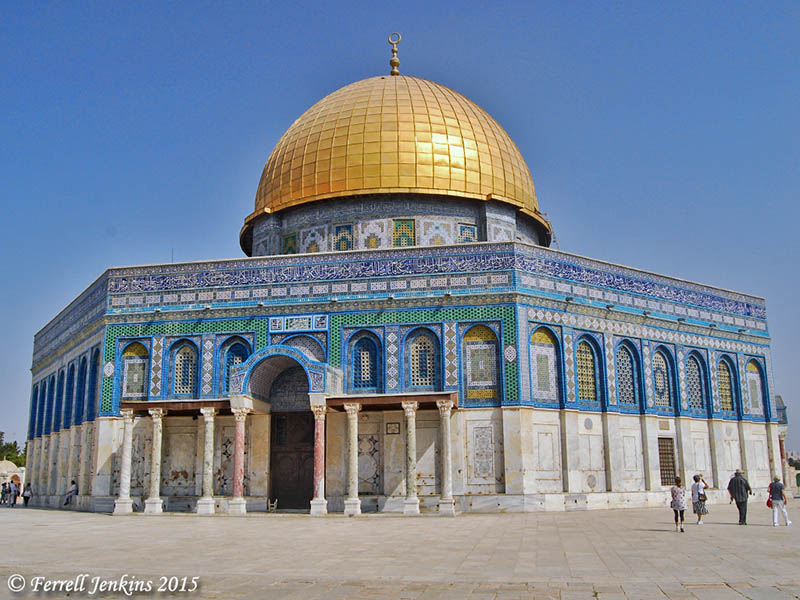
The Dome of the Rock stands where Solomon’s Temple was built. Photo by Ferrell Jenkins.
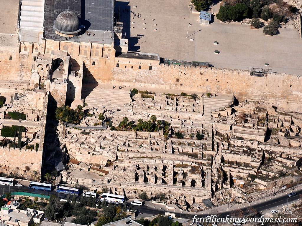
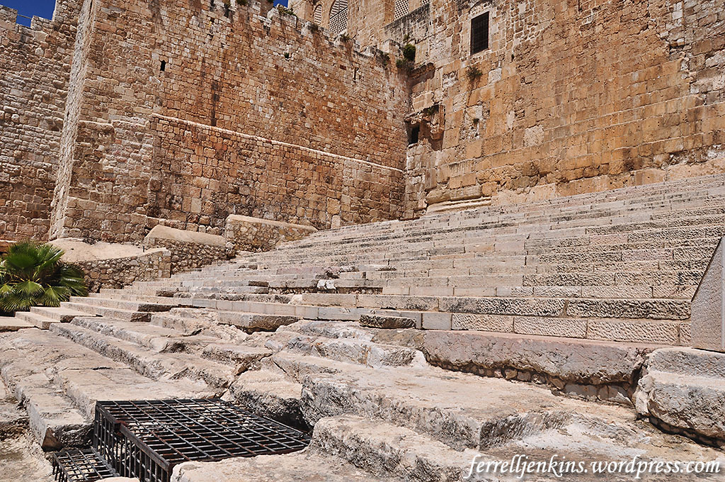
Vivid evidence of the Roman destruction of Jerusalem was discovered at the SW corner of the temple area in the Tyropean Valley. Some of the rubble can still be seen on the street which was probably built by Agrippa II in the 60s of the first century.
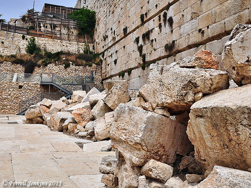
Stones that fell, or were pushed, from the Temple Mount to the street below in A.D. 70 at the time of the destruction by the Romans. Photo by Ferrell Jenkins.
Wayne Stiles recently wrote an article here on this topic with several excellent photos from the Burnt House in Jerusalem, a house burned during the Roman destruction in A.D. 70.


You must be logged in to post a comment.