
A reader who read our report on the dolmen field in the Golan Heights ask on Facebook if these structures could be the high places or altars mentioned in the Old Testament. The simple answer is “No.” They are thought to be tombs.
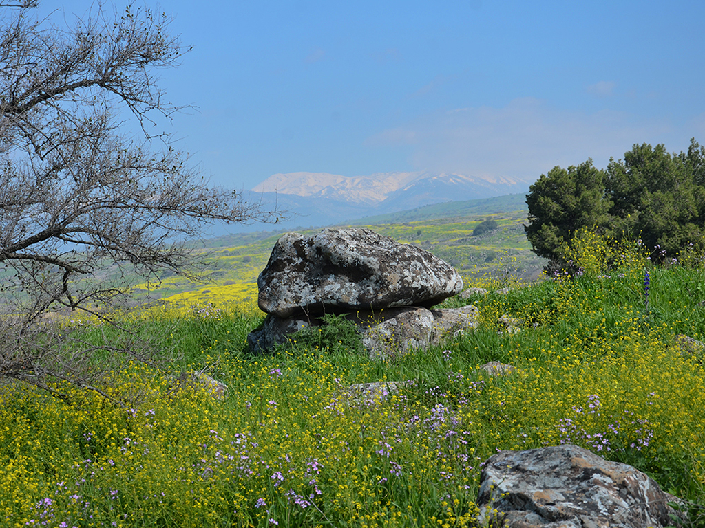
This photo of a dolmen was made at Gamla in the Golan Heights.

Dolmen at Gamla in the Golan Heights. Photo by Ferrell Jenkins.
In an article about the Golan Archaeological Museum at Qatzrin in the Golan Heights, Nemlich and Killebrew make these comments:
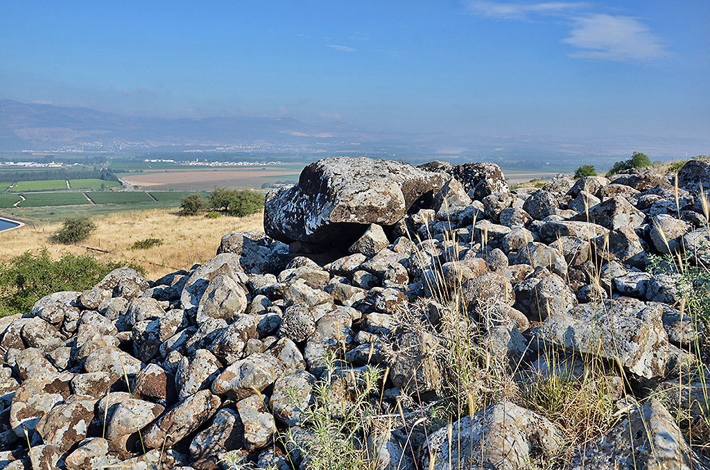
Another strange sight on the Golan is fields of dolmens. Throughout the Golan, hundreds of dolmens are visible on the horizon. They are made of huge unworked basalt slabs and resemble giant stone tables. In fact the word dolmen derives from two Old Breton words—dol, meaning table, and men, meaning stone.
Dolmens were built to serve as tombs. Because of the absence of any associated contemporary house remains, we infer that the dolmen builders were nomadic or seminomadic tribesmen.
The Golan dolmens vary in size, ranging from those built of three or four large boulders to the giants measuring over 20 feet wide and rising to heights of over 10 feet. Some dolmens are free-standing, but many others are partially—or completely—covered by stone heaps, or tumuli. Still others are surrounded by circles of stones.
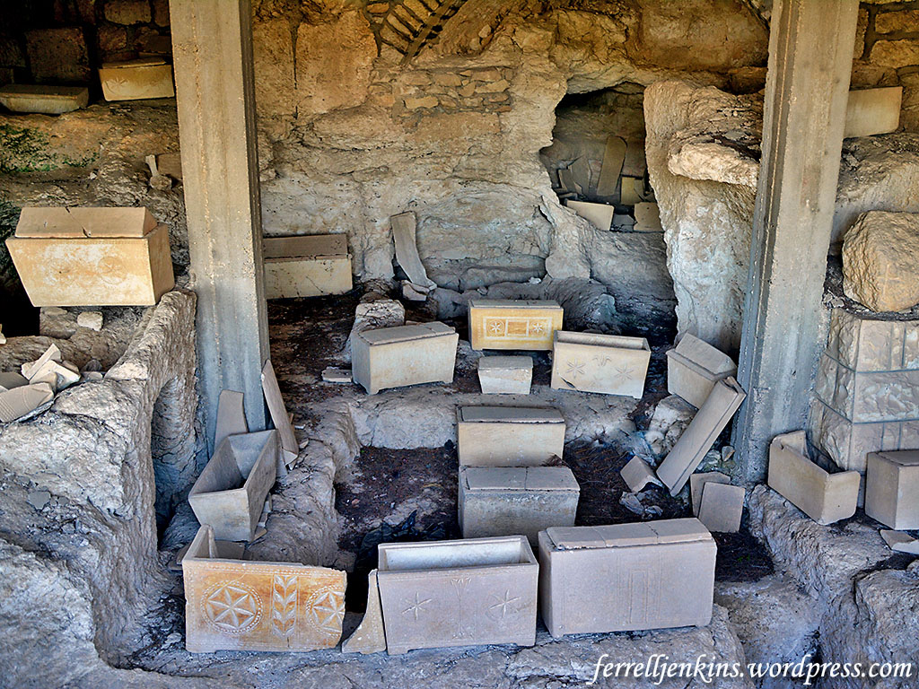
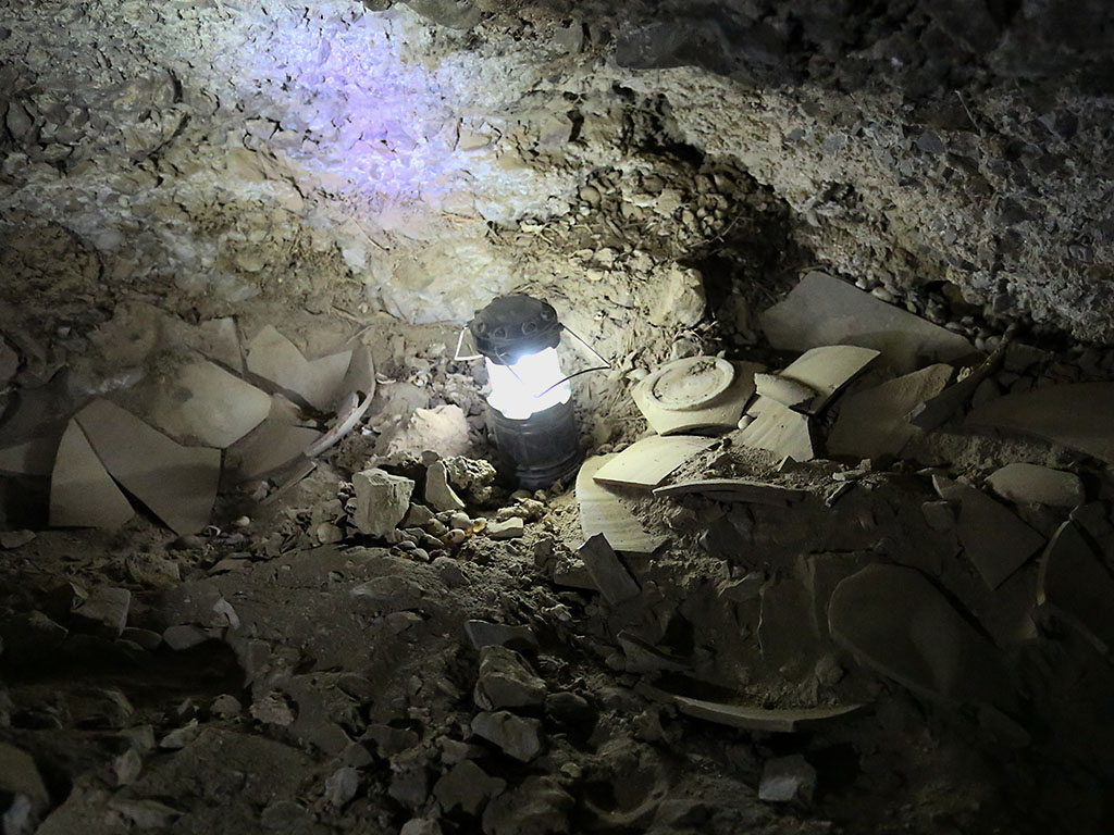
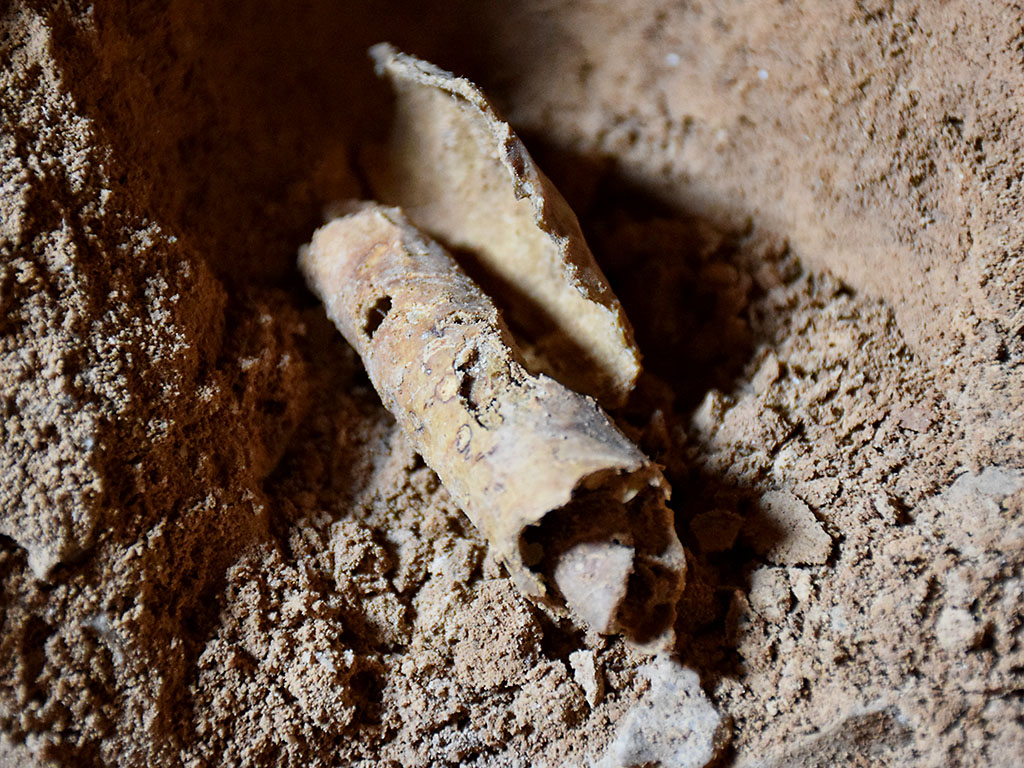
Beneath each table-like structure is a rectangular underground chamber with a paved floor and a roof made with heavy slabs. Apparently, this chamber was used for a secondary burial: About a year after death, when the flesh of the deceased had decayed, the bones were reburied in the chamber beneath the dolmen, together with a few funerary gifts of pottery vessels and weapons, usually of copper. Many dolmen chambers were reused as ready-made tombs, both in ancient and modern times. The earliest artifacts found in them, however, enable us to date them to the period archaeologists call Middle Bronze I—about 2200–2000 B.C. (a little before the most commonly dated period for the patriarchal age). (Nemlich, Shlomit and Ann Killebrew. “Recovering the Ancient Golan—The Golan Archaeological Museum.” Biblical Archaeology Review. Nov/Dec 1988.)
There are other suggestions about the purpose of the dolmen. David E. Graves left this comment, with photos, on our Facebook page:
In 2009 we excavated an undisturbed dolmen in Jordan at Tall el-Hammam and recovered 16 EB whole vessels. We did not discover any skeletal remains and so hypothesis they were family memorials and used the table top to de-flesh the remains before reburial.
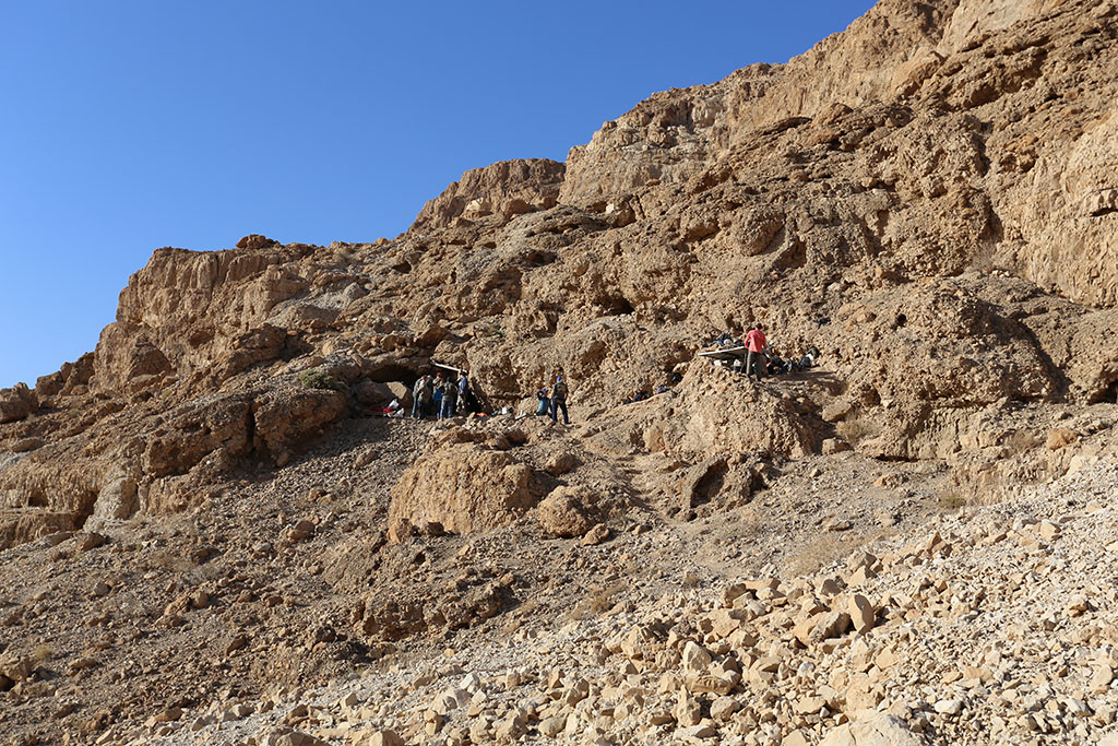
Perhaps the most fascinating thing about the recently announced discovery reported this past week is the images inscribed on the dome of the dolmen. The recent IAA Press Release says this,
The chamber inside the dolmen where the engravings were found on its ceiling is large, measuring 2 × 3 meters, and the stone covering it is also huge, weighing an estimated fifty tons at least! This is one of the largest stones ever used in the construction of dolmens in the Middle East. The dolmen was enclosed within an enormous stone heap (tumulus) c. 20 meters in diameter, and its stones are estimated to weigh a minimum of 400 tons. At least four smaller dolmens that were positioned at the foot of the decorated dolmen were identified inside the stone heap. In other words, what we have here is a huge monumental structure built hierarchically (with a main cell and secondary cells). This is the first time such a hierarchical dolmen has been identified in the Middle East.
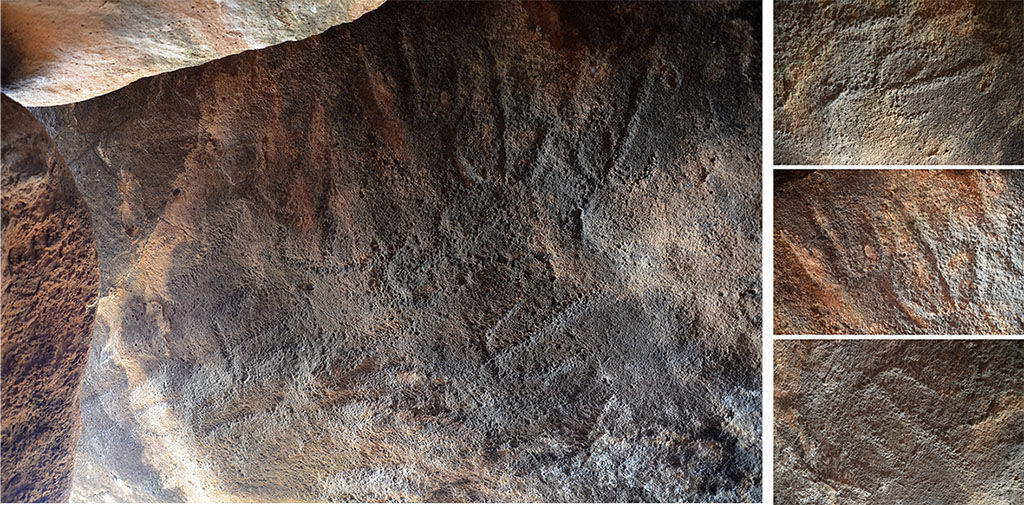
The engravings that were exposed on the inside of the built chamber. Photographic credit: Gonen Sharon, Tel Hai College.
There is much more to learn about the dolmen.


You must be logged in to post a comment.