
The American Friends of Tel Aviv University announced Monday the discovery of a massive fortification from the Iron Age.
— ♦ —
Researchers from Tel Aviv University have unearthed the remains of massive ancient fortifications built around an Iron-Age Assyrian harbor in present-day Israel.
At the heart of the well-preserved fortifications is a mud-brick wall up to more than 12 feet wide and 15 feet high. The wall is covered in layers of mud and sand that stretch for hundreds of feet on either side. When they were built in the eighth century B.C.E., the fortifications formed a daunting crescent-shaped defense for an inland area covering more than 17 acres.
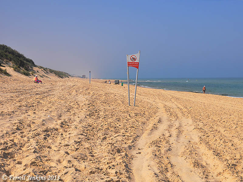
The finding comes at the end of the first excavation season at the Ashdod-Yam archaeological dig in the contemporary Israeli coastal city of Ashdod, just south of Tel Aviv. Dr. Alexander Fantalkin of TAU’s Department of Archaeology and Ancient Near Eastern Cultures is leading the project on behalf of the Sonia and Marco Nadler Institute of Archaeology.
“The fortifications appear to protect an artificial harbor,” says Fantalkin. “If so, this would be a discovery of international significance, the first known harbor of this kind in our corner of the Levant.”
Building up and putting down. When the fortifications were built, the Assyrians ruled the southeastern part of the Mediterranean basin, including parts of Africa and the Middle East. Assyrian inscriptions reveal that at the end of the century, Yamani, the rebel king of Ashdod, led a rebellion against Sargon II, the king of the Assyrian Empire. The Kingdom of Judah, under King Hezekiah, rejected Yamani’s call to join the insurrection.
The Assyrians responded harshly to the rebellion, eventually destroying Philistine Ashdod. As a result, power shifted to the nearby area of Ashdod-Yam, where the TAU excavations are taking place. The fortifications seem to be related to these events, but it is not yet clear exactly how. They could have been built before or after the Ashdod rebellion was put down, either at the initiative of the locals or at the orders of the Assyrians.
“An amazing amount of time and energy was invested in building the wall and glacis [embankments],” says Fantalkin.
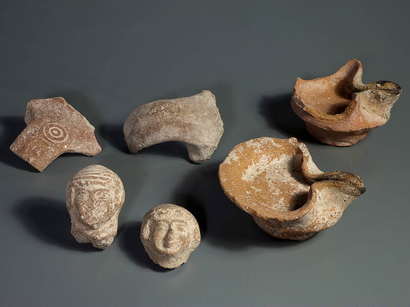
3D castles in the sand. More recent ruins — from the Hellenistic period, between the fourth and second centuries B.C.E. — were also found on top of the sand of the Iron Age fortifications. The buildings and walls were apparently built after the fortifications were abandoned and then probably destroyed by an earthquake in the second half of the second century B.C.E. Among the unusually well-preserved ruins were artifacts, including coins and weights.
The researchers employed a powerful new digital technique, photogrammetry, to create a 3D reconstruction of all the features of the excavation. The University of Nebraska-Lincoln provided the equipment. Dr. Philip Sapirstein, a postdoctoral fellow at TAU, served as a digital surveyor on the project.
The only archaeological work done previously at Ashdod-Yam was a series of exploratory digs led by late Israeli archaeologist Dr. Jacob Kaplan on behalf of the Tel Aviv-Jaffa Museum of Antiquities between 1965 and 1968. Kaplan believed the Ashdod rebels built the fortifications in anticipation of an Assyrian attack, but Fantalkin says the construction appears too impressive to have been done under such circumstances.
— ♦ —

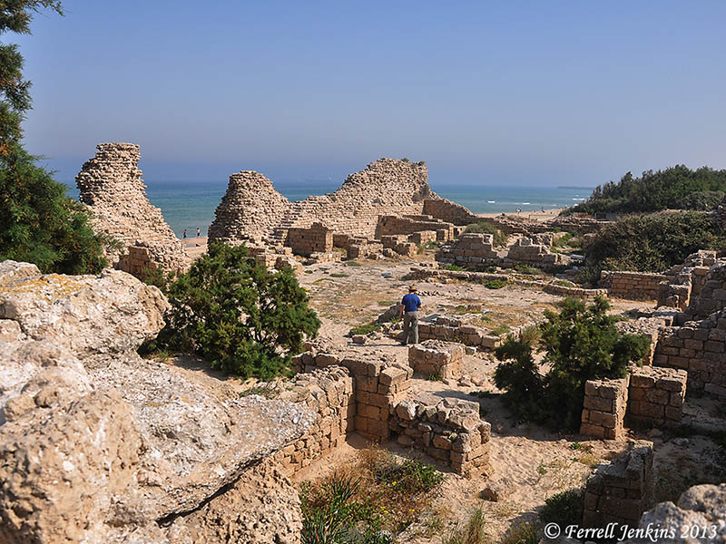
Broken columns lie scattered among the wild flowers on the sand dunes covering Ashdod-Yam. Photo by Ferrell Jenkins.
The Ashdod-Yam Excavations website is here.
HT: Joseph Lauer


You must be logged in to post a comment.