
The name Mahanaim is found 13 times in the Old Testament. The site is where Jacob and Laban met and made a covenant. Mahanaim seems to mean “two camps” (Genesis 32:2). This is where Jacob’s name was changed to Israel after he wrestled with a man (angel, Hosea 12:4). When morning came, Israel crossed over Penuel (Genesis 32:31).
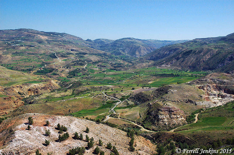
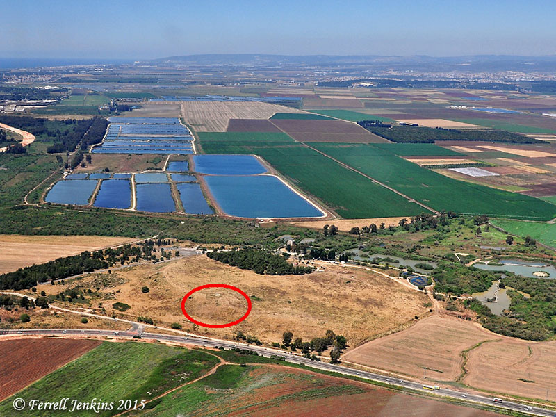
Two large tells face each other and the Jabbok River flows in an S-curve between them. The tells are now named Tall adh-Dhahab East and Tall adh-Dhahab West. These tells are located a few miles east of the Plains of the Jordan and Tell Deir Allah (likely the site of biblical Succoth). Some scholars identify Dhahab West as Mahanaim and Dhahab East as Penuel. Other scholars reverse the identifications.
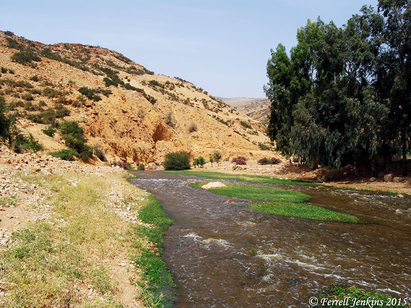
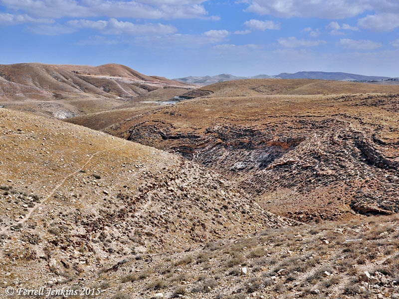
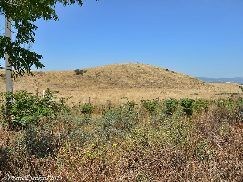
The Jabbok River near Mahanaim. Photo by Ferrell Jenkins.
When Transjordan was divided among the tribes, Mahanaim was located in the territory of Gad on the boundary with East Manasseh (Joshua 13:26, 30). It was one of the cities allotted to the Levites (Joshua 21:38; 1 Chronicles 6:80).
Ishbosheth made king over Israel from Mahanaim
After the death of Saul, Abner made Ishbosheth, the son of Saul, king over all Israel from Mahanaim (2 Samuel 2:8, 12, 29).
David fled to Mahanaim
When David fled from his rebellious son Absalom he fled across the Jordan to Mahanaim (2 Samuel 17:24, 27; cf. 2 Kings 2:8). Absalom met his death in a nearby forest.
A Gileadite by the name of Barzillai took care of King David while he stayed at Mahanaim (2 Samuel 19:32). The city became one of Solomon’s administrative centers (1 Kings 4:14).
Song 6:13 describes gazing upon the Shulammite girl to be like looking on “the dance of the two camps” or “dance of two companies” (CSB, JPS, NAU, NKJ). Other translations use the expression “the dance of Mahanaim” (ASV, NIV, NJPS, TNIV) or “dance of the Mahanaim” (NET).
Recent excavations at Dhahab West, conducted by a German team, have revealed what they believe to be part of a monumental building of Herod the Great. They think this was the Hellenistic and Roman site described by Josephus as Amathus.
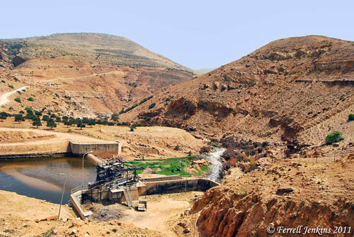
Tall adh-Dhahab East (left) and Tall adh-Dhahab West (right). These are thought to be the sites of Mahanaim and Penuel. Photo by Ferrell Jenkins.
Our photo shows both tells. (Tall adh-Dhahab East is on the left. Tall adh-Dhahab West is on the right.) There is a pumping station on the Jabbok to provide agricultural irrigation. The Jabbok continues in the valley separating the two hills and tells.
Click on the photo for an image suitable for use in teaching presentations.


You must be logged in to post a comment.