
Hurriyet Daily News reports here the discovery at Laodicea of a marble slab containing a code of laws pertaining to the water supply of the city during the reign of the Roman Emperor Trajan in 114 A.D. The article says,
The rules were prepared by Anatolian State Governor Aulus Vicirius Matrialis.

This marble slab discovered at Laodicea contains a code of laws protecting the water supply of the city of Laodicea in the early second century A.D. (Photo credit: AA photo)
Here is some further information about the discovery.
The excavation works, led by Pamukkale University and supported by Denizli Municipality, have continued on Stadium Street in the ancient site. Excavations head Professor Celal Şimşek of Pamukkale University, said, “The Laodicea Assembly made this law in 114 A.D. and presented it to a pro council in Ephesus for approval.
The pro council approved the law on behalf of the empire. Water was vital for the city. This is why there were heavy penalties against those who polluted the water, damaged the water channels or reopening the sealed water pipes. Breaking the law was subject to a penalty of about 12,500 denarius – 125,000 Turkish Liras.”
One hundred twenty-five thousand Turkish Liras amount to approximately $42,700. Fairly stiff fine.
The full article is accompanied by several nice photos and will be well worth your time. Another article about the discovery appears in Ancient Origins here.
Last year my fellow-traveler Leon Mauldin and I made a personal study tour in Turkey. We had the opportunity to make a return visit to Laodicea and see the continuing excavations at the site. I think the city is destined to become one of the most popular sites in the country.
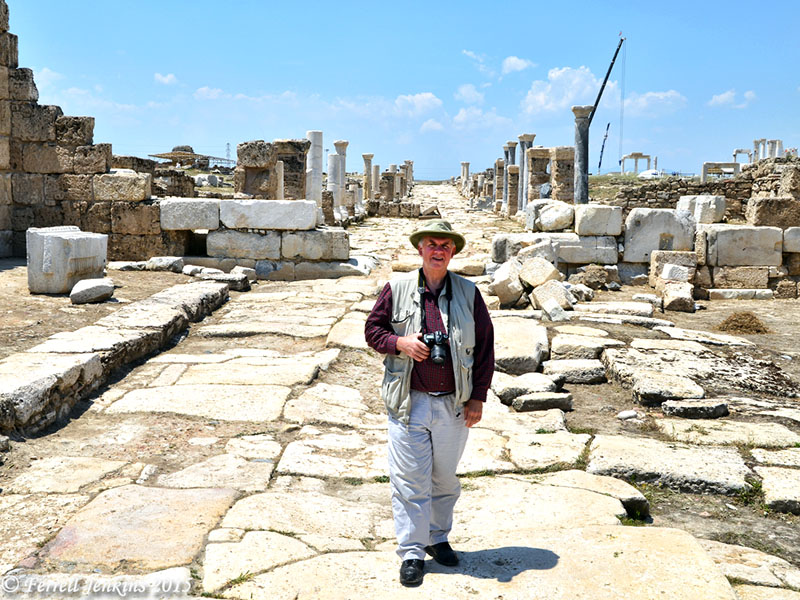
Leon Mauldin on Syria Street in Laodicea. Photo by Ferrell Jenkins.
Laodicea is known to us from the book of Revelation (1:11; 3:14-22), and from Paul’s epistle to the Colossians.
For I testify for him that he has a deep concern for you and for those who are in Laodicea and Hierapolis. Luke, the beloved physician, sends you his greetings, and also Demas. Greet the brethren who are in Laodicea and also Nympha and the church that is in her house. When this letter is read among you, have it also read in the church of the Laodiceans; and you, for your part read my letter that is coming from Laodicea. (Col 4:13-16 NAU)
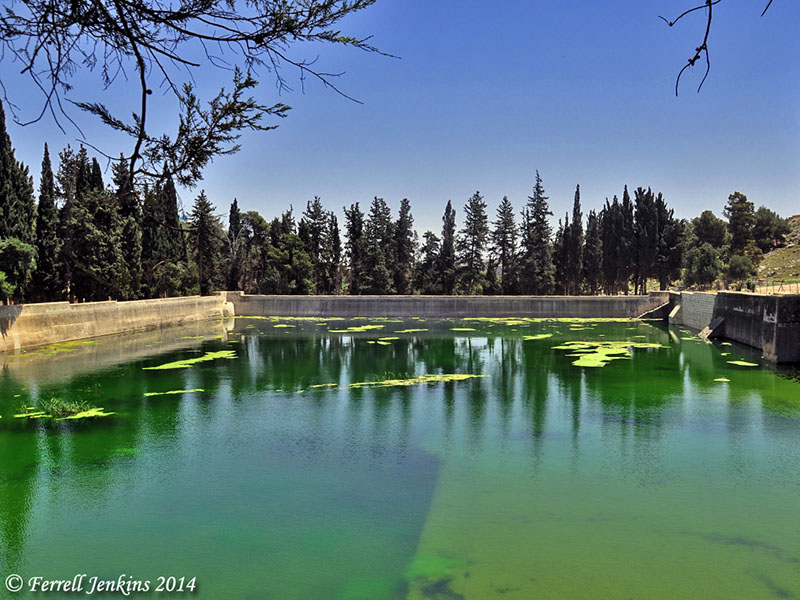
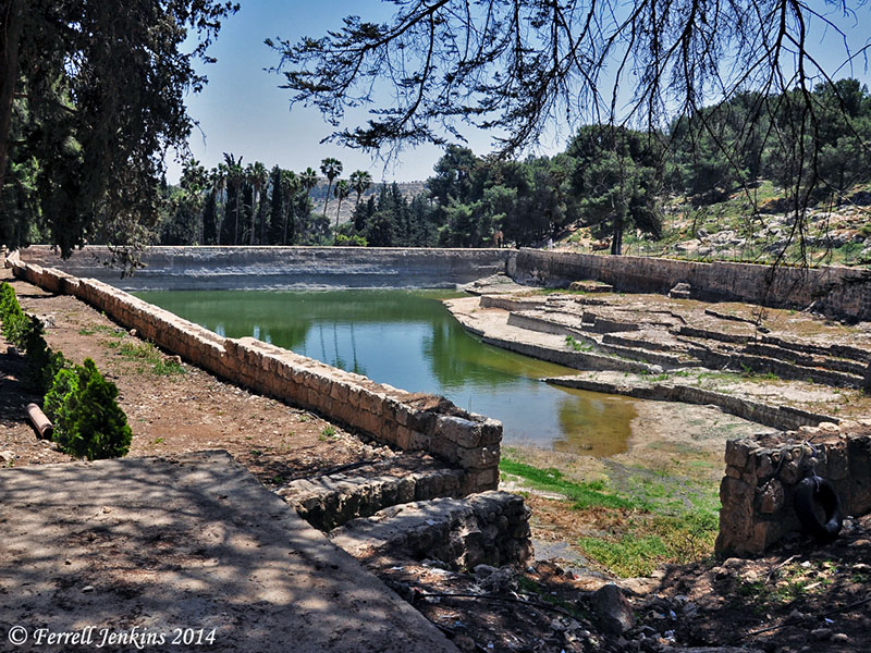
One might easily connect this discovery to what we already knew about the water system at Laodicea. I was rather sure that I had written about the source of water and the water distribution tower, but I find only the photo of the tower here. I have written about the subject in material distributed to my tour members. Perhaps I will be able to reprint some of that material in another post. Meanwhile, I call attention to the recent good post by Carl Rasmussen about this same discovery. He includes comments about the “lukewarm” water at the Holy Land Photos’ Blog here.
HT: Joseph I. Lauer


You must be logged in to post a comment.