
Are you planning a visit to Jerusalem during the upcoming months? I suggest you visit the Israel Museum. There is much to see that is of importance to Bible students. We called attention to some of the archaeological artifacts several times.
We have written about the Herodium here, here, here, here, and here (and perhaps a few other places) in this blog.
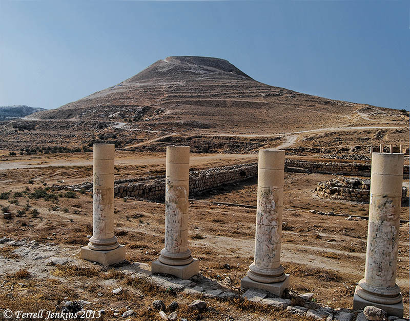
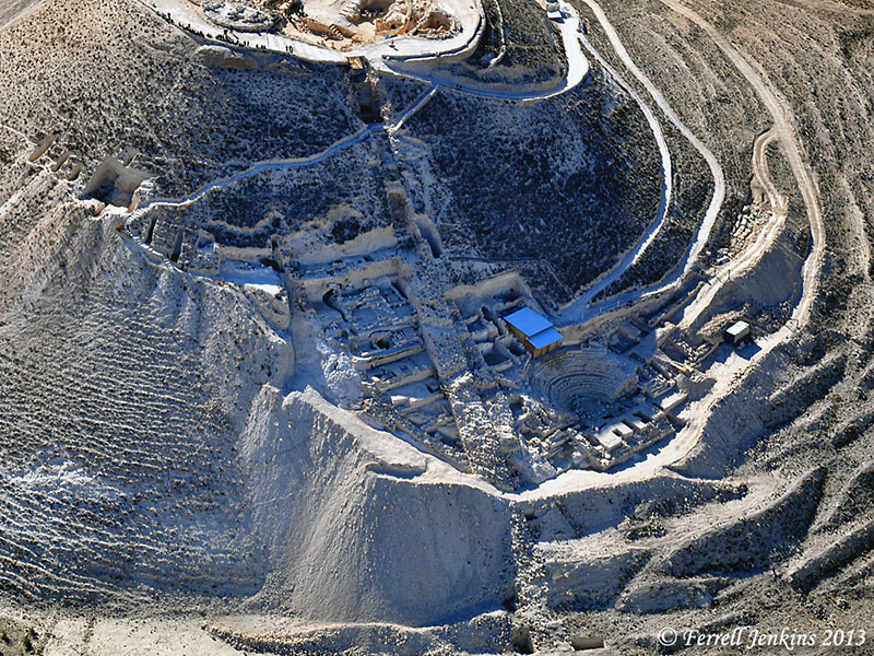
View of the Herodium toward the east. Photo by Ferrell Jenkins
The Israel Museum recently opened a new exhibition called Herod the Great: The King’s Final Journey. The exhibition includes a reconstruction of the tomb and sarcophagus of the King from the Herodium. I suggest you begin by reading the article about the exhibition in The New York Times here.
Shmuel Browns, a tour guide in Israel, and a fellow-blogger, is quoted in the article. Please take a look at the beautiful photos and descriptions of the new exhibition by Browns.
- Monumental enough for Herod the Great?
- Herodium, Netzer, King Herod and the Israel Museum.
- Herod – Design and Realpolitik.
Carl Rasmussen calls attention to the articles by Browns, and includes a nice photo of the large model of what Prof. Netzer thought the monumental tomb of Herod might have looked like here.
I’m looking forward to seeing this exhibition in a few weeks.


You must be logged in to post a comment.