
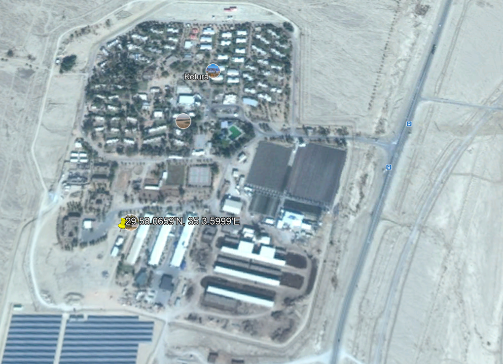
The “promised land” was described to the Israelites as “a land whose stones are iron, and out of whose hills you can dig copper” (Deuteronomy 8:9). Copper was mined by Egyptians in the Arabah of Israel as far back as the 13th-12th century B.C. Recent research has demonstrated that copper was also mined there during the Iron Age
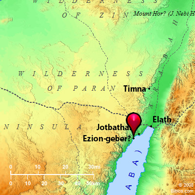
Until the the mid 1970s copper was still mined at Timna about 25 miles north of Eilat (close to Ezion-geber). (See the comment by Tom Powers on our introductory post here.)
The Timnah associated with Samson (Judges 14:1) is a different site near Beth-shemesh (Joshua 15:10), and the Sorek Valley (Judges 16:4).
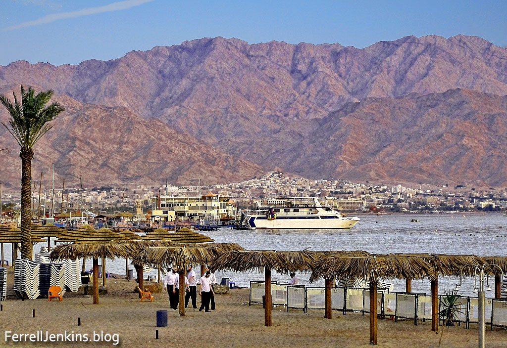
The Bible does not say that Solomon had copper mines at Ezion-geber, but the presence of mining facilities dating to the 10th century B.C. indicates that this may have been one of the reasons why the King built a port and had a navy stationed there (1 Kings 9:26-28). Ezion-geber was more than 220 miles from Jerusalem. The copper provided a good medium of exchange for gold, spices, and other items that Israel needed.
Timnah Park is a beautiful place to visit. Incidentally, it is privately operated and charges an admission fee not covered by one of the tourist cards honored at the national parks. Since my last visit in 2011, a nice Visitor Center has been erected. Here you can buy tickets, souvenirs, and snacks. There are cases with a few (mostly replica) artifacts from the ancient mining, also beautiful photos, maps and videos. I observed a “ranger” explaining the biking routes to a few travelers.
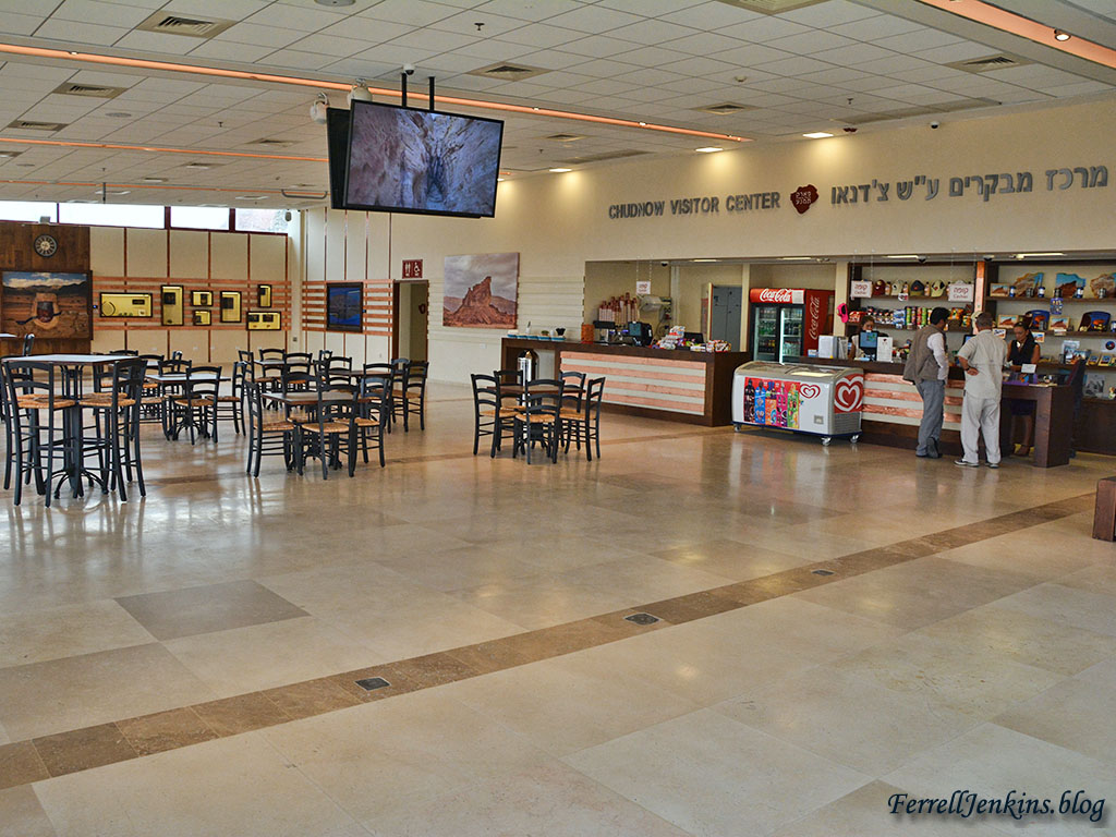
The Chudnow Visitor Center at the entrance to Timnah Valley which is humbly called “one of the world’s most beautiful parks.” Photo by Ferrell Jenkins.
The plaza outside the Visitor Center provides an opportunity to make souvenir photos, as I did. This gives one the sense of the ancient.
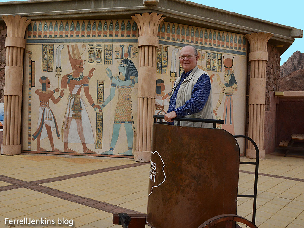
Leon Mauldin poses in an Egyptian chariot, but I see he doesn’t have any horse power.
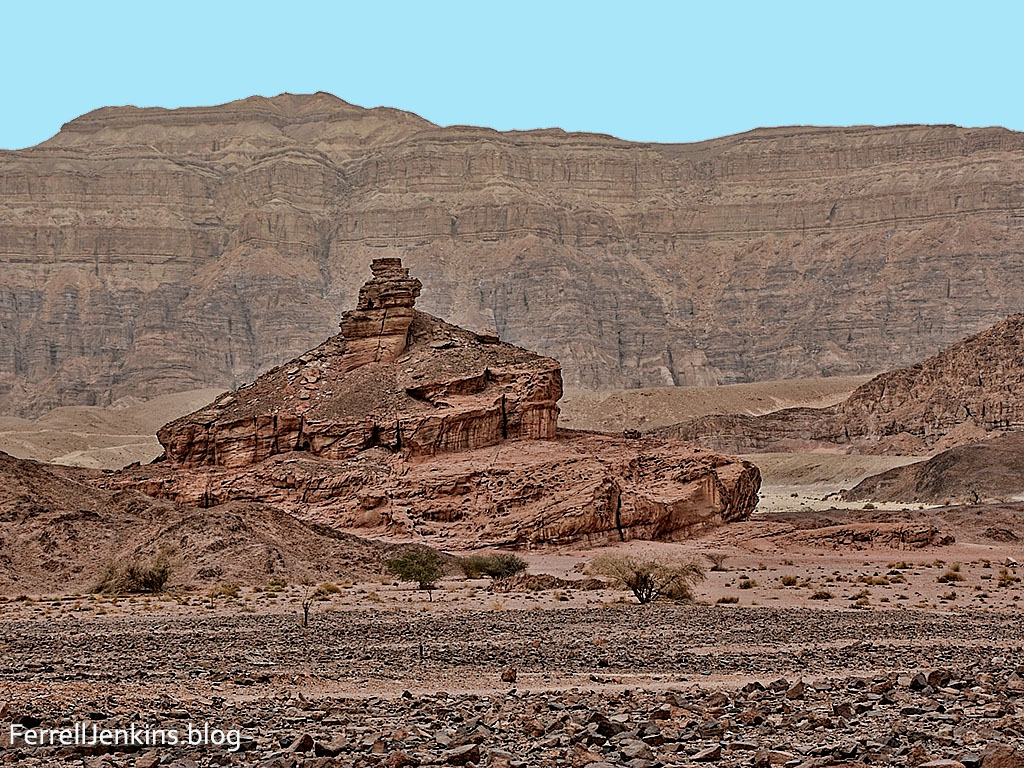
The most famous formation in Timna Park if called Solomon’s Pillars. We have no way to know if Solomon ever came this area. The leaflet distributed at the Visitor Center seems to not include information about the recent excavations. It says,
These sandstone pillars are a natural part of the cliff wall. They are a typical landscape formation that developed as a result of erosion along cracks in the hard red sandstone. They are named after King Solomon, due to a mistaken early theory that copper-mining and production were part of Solomon’s activities in this area.
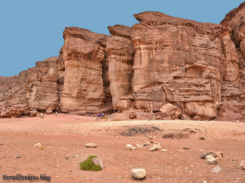
The Pillars of Solomon. These massive pillars at Timna have been associated with Solomon for a long time.These “pillars”, formed by water, are one of the most beautiful formations in the park. Photo by Ferrell Jenkins.
When Egyptians worked at Timnah there was a cultic site associated with the Egyptian goddess Hathor. A sign at the site explains that it contains an Egyptian sacred chamer, a central niche, and cultic basins. According to the archaeologists who worked here there are also some local Semitic elements among the ruins: Cultic basins, rock-hewn altar, and standing stones.
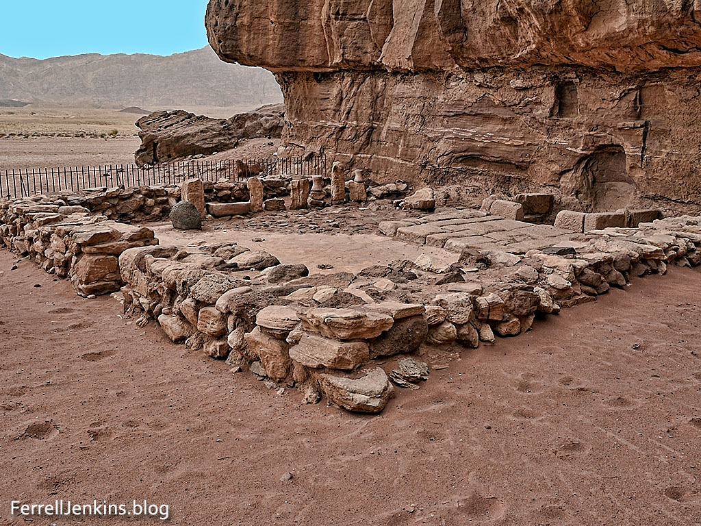
The Hator Temple, named after the Egyptian goddess, was used as a cult site during the Egyptian period, and afterward by local Midianites. Photo by Ferrell Jenkins.
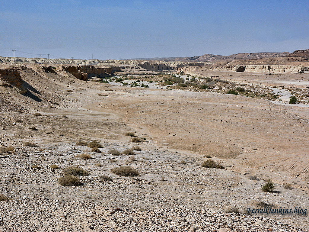
In Timna Valley there is one beautiful view after another. The formation below is appropriately called Spiral Hill, so named because it seems to climb to the top like a spiral staircase.
Spiral Hill in Timna Valley. Photo by Ferrell Jenkins.
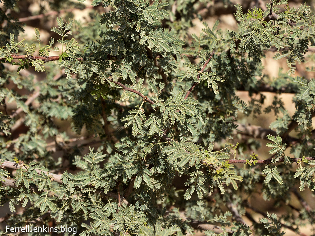
We have already seen the Acacia trees in the northern Araba, but there are some beautiful scenes in Timna Valley.
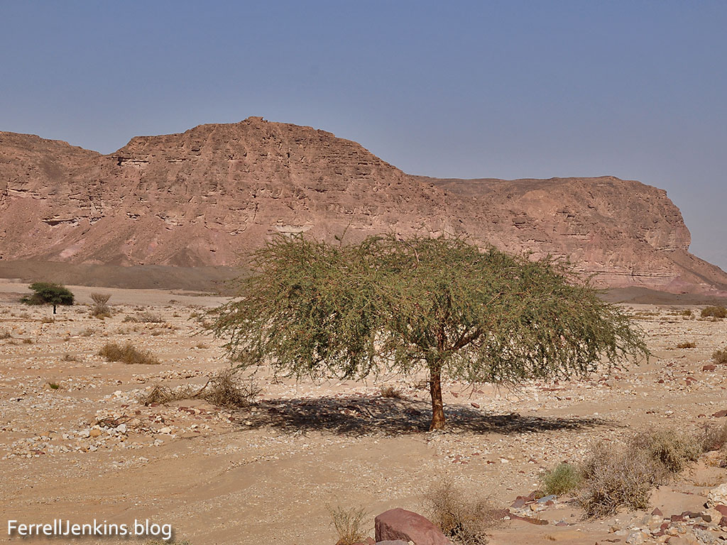
Another Acacia tree growing in one of the wadis of the Timna Valley. Photo by Ferrell Jenkins.
Four times before I have visited Timna. Two of these was since the construction of the life size reconstruction of the Tabernacle in the Wilderness. It is now included in the admission fee for Timna Park and evidently is open any time the park is open. It deserves a fuller discussion, but I am including this photo which I have enhanced in Photoshop, removing most of the autos, buses, modern roads, poles, and other obstructions. I hope you will enjoy it and perhaps use it in your teaching. Click on the photo for a larger image.
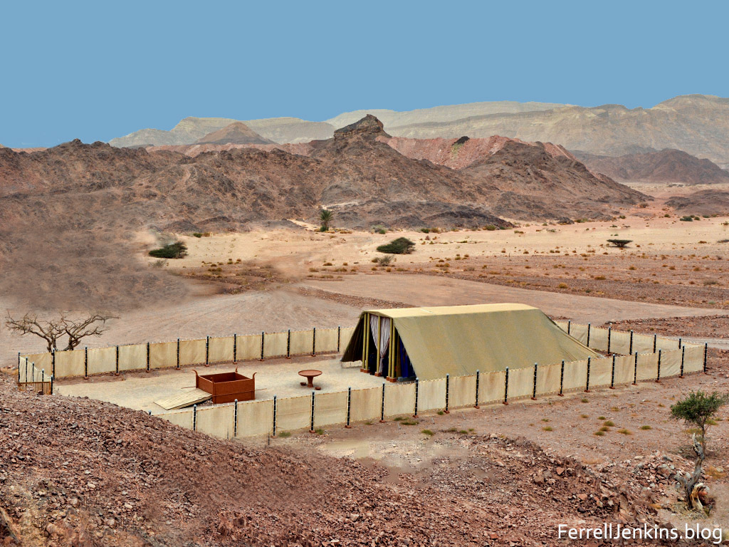
The Tabernacle in the Wilderness at Timna Park. Photo by Ferrell Jenkins.
I am leaving discussion of the Smelting Camp with its illustrations showing how the smelting of copper was done for another time.
Todd Bolen provides a brief summary of the archaeological work indicating that the peak copper production at Timna was in the 10th century B.C. here. Especially important is the link to the report in BASOR.
Leon Mauldin’s blog site is here.


You must be logged in to post a comment.