
Many tourists stop at Tabgha (Seven Springs, or Heptapegon) to see the mosaic of loaves and fish in the new Church of the Multiplication of the Loaves and Fishes. This church was built in 1982, but we know that a chapel was built at the site as early as the 4th century A.D. I will not engage in a discussion of whether this is the correct location for the feeding of the multitudes by Jesus.
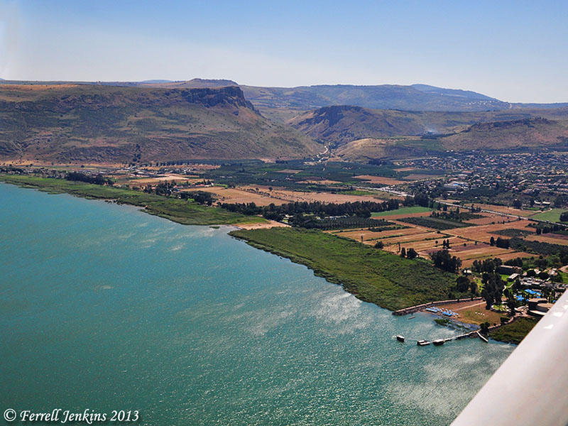
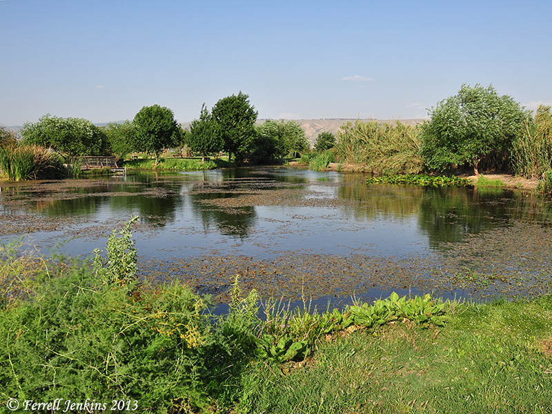
Rarely does anyone have the opportunity to take the path from the church to the lake shore. This is private property. In the photo below, first notice that the water level is low. The green growth is covered when the water level is high. Notice also a path in the middle of the photos. This path leads from the church to the lake (when the water is high).
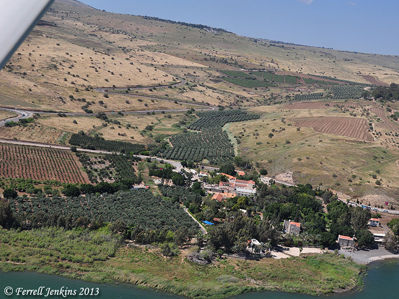
Traditional site of Dalmanutha (east of Tabgha). Photo by Ferrell Jenkins.
Only twice have I been able to reach the lake shore at this point. As one approaches the water there is a sign with the word Dalmanutha on it. I met Bargil Pixner in the book shop of the church in 1994 and have an inscribed copy of his with Jesus through Galilee according to the fifth Gospel. At least once in the book he mentions the Seven Springs as “Ma-gadan, Tabgha“ (p. 37). The enlarged map in the back of the book marks the area as Ma-gadan (Dalmanutha).
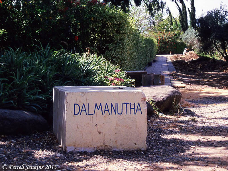
Sign at traditional site of Dalmanutha in 1994. Photo by Ferrell Jenkins.
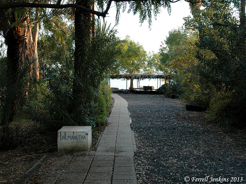
Sign at traditional site of Dalmanutha in 2009. Photo by Ferrell Jenkins.
Here is the view from “Dalmanutha” toward Mount Arbel and the Horns of Hattin.
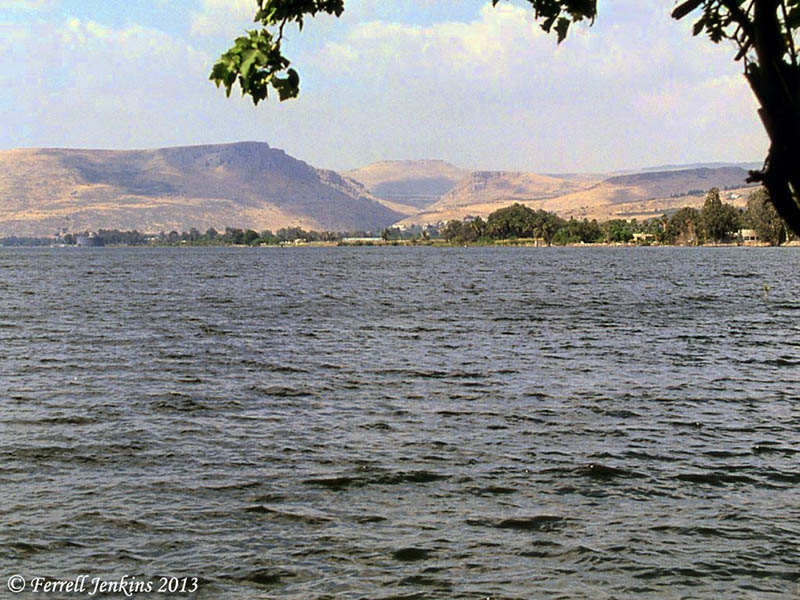
View from traditional Dalmanutha toward Mount Arbel. Photo by Ferrell Jenkins 1994.
I doubt that this identification is correct but thought it was significant enough to pass along.
We pointed out in a previous post here that Dalmanutha is mentioned only once in the Gospels.
And immediately he got into the boat with his disciples and went to the district of Dalmanutha. (Mark 8:10 ESV)
The parallel account in Matthew 15:32-39 says that Jesus came to the region of Magadan.
And after sending away the crowds, he got into the boat and went to the region of Magadan. (Matthew 15:39 ESV)


You must be logged in to post a comment.