If Tell Ḥesbân is not biblical Heshbon, then the pool uncovered by S. H. Horn is likely not the pool mentioned in Song of Solomon 7:4.
If Tell Ḥesbân is not biblical Heshbon, then where is biblical Heshbon?
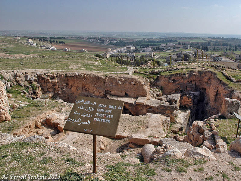
A sign at Tell Ḥesbân, erected by the excavators, lists evidence of occupation during the following periods:
- Ajarmah [local tribe] village – ca. AD 1870-present
- Ottoman Village
- Mamuluk Regional capital – AD 1260-1500
- Abbasid pilgrim rest. – AD 750-1260
- Umayyad market town – AD 650-750
- Byzantine Ecclesiastical center – ca. AD 350-650
- Roman temple town – ca. 63 BC – AD 350
- Hellenistic fortress – ca. 198 BC – 63 BC
- Ammonite citadel – ca. 900 – 500 BC
- Proto Ammonite village – ca. 1200 – 900 BC
- Traditional Ammorite Stronghold.

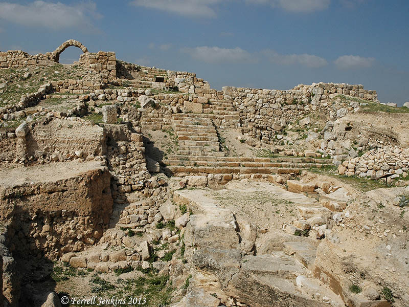
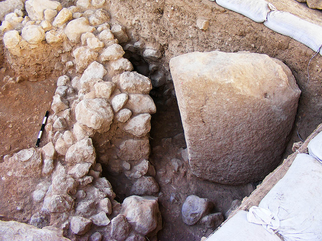
Roman steps and market area at Tell Ḥesbân. Photo by Ferrell Jenkins.
Remember that we are looking for a town of Moab, and there is no evidence of the Moabites at Tell Ḥesbân.
Because not every reader of this blog speaks Bronze Age and Iron Age, I think I should list the general dates of these archaeological periods (following J. A. Thompson, The Biblical World (ed. Charles Pfeiffer).
- Early Bronze (EB) — ca. 3200 – 2100 BC
- Middle Bronze (MB) — ca. 2100 – 1550 BC – period of the Patriarchs
- Late Bronze (LB) — ca. 1550 – 1200 BC – period of Moses, the Exodus, and the Conquest
- Iron I — ca. 1200 – 900 BC – period of the Judges & the United Kingdom
- Iron II — ca. 900 – 600 BC – period of the Divided Kingdom
- Iron III — ca. 600 – 300 BC – period of Exile and Return
- Hellenistic (Grecian) — ca. 300 – 63 BC – Between the Testaments
- Roman — ca. 63 BC – AD 323 – New Testament & early Christian period
We are looking for a city belonging to the period of Moses, the Exodus, and the Conquest (the Late Bronze archaeological period). [*see note below]
After the disappointment at Tell Ḥesbân, those associated with Horn formed the Madaba Plains Project in order to continue the search for Heshbon. One of the great things about Todd Bolen’s Pictorial Library of Bible Lands is the fact that many of the photos include brief documentation with the photos. With one of the Tell Ḥesbân photos he says,
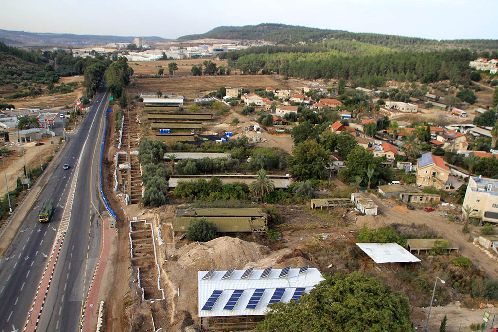
After this disappointing series of digs, the Madaba Plains Project was formed and the search for Heshbon continued. Four Late Bronze sites were found within a 6 mile (10 km) radius of Tel Hesban; Tel Jalul is the biggest and thus the most promising site. Tel Jalul is the largest site in Jordan south of Amman.
Three possibilities exist for the location of biblical Heshbon: Tel Hesban, Tel el-Umeiri, and Tel Jalul. Hesban preserves the name, which makes it a good candidate, but it lacks archaeological evidence.
The
PLBL collection includes photos of all of these places. The Institute of Archaeology Siegfried H. Horn Museum at Andrews University maintains a helpful web site that includes information about the
Madaba Plains Project here.

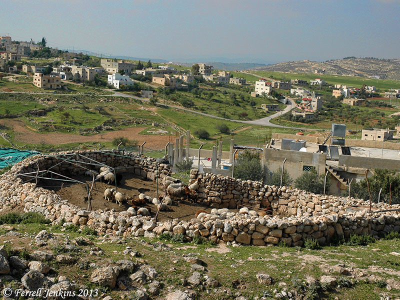
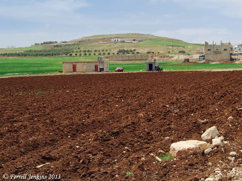
Byzantine church at Tel Hesban. Photo by Ferrell Jenkins.
The photo above shows the ruins of the Byzantine church at Tell Ḥesbân. Tel Jalul may be seen in the distance. Look for the long, plain “hill”, on the top of the hill on the far left of the photo.
Added Note: In the original post I stated that “We are looking for a city belonging to the period of the Patriarchs (the Late Bronze archaeological period).” A friend called my attention to the oversight. The chart above shows that the period of the Patriarchs is the Middle Bronze Age. I should have said, as now corrected above, that “We are looking for a city belonging to the period of Moses, the Exodus, and the Conquest (the Late Bronze archaeological period).”


You must be logged in to post a comment.