Gordon Franz sent me the report on his recent visit to southeastern Turkey and the “International Noah and Judi Mountain Symposium.” He said, “If you want to post it on your site, you are more than welcome.” This is an issue of much importance, and I am delighted to share it with our readers and help give it wide distribution.
Twice I have visited Eastern Turkey. In 2007 I was aware of the argument for Cudi Dagh (or Mount Judi), but was advised by my Turkish tour operator not to go to the mountain. Still hopeful of seeing the mountain someday.
Here is the first part of Gordon’s report:
Report on the “International Noah and Judi Mountain Symposium” – Sirnak, Turkey
By Gordon Franz
Introduction
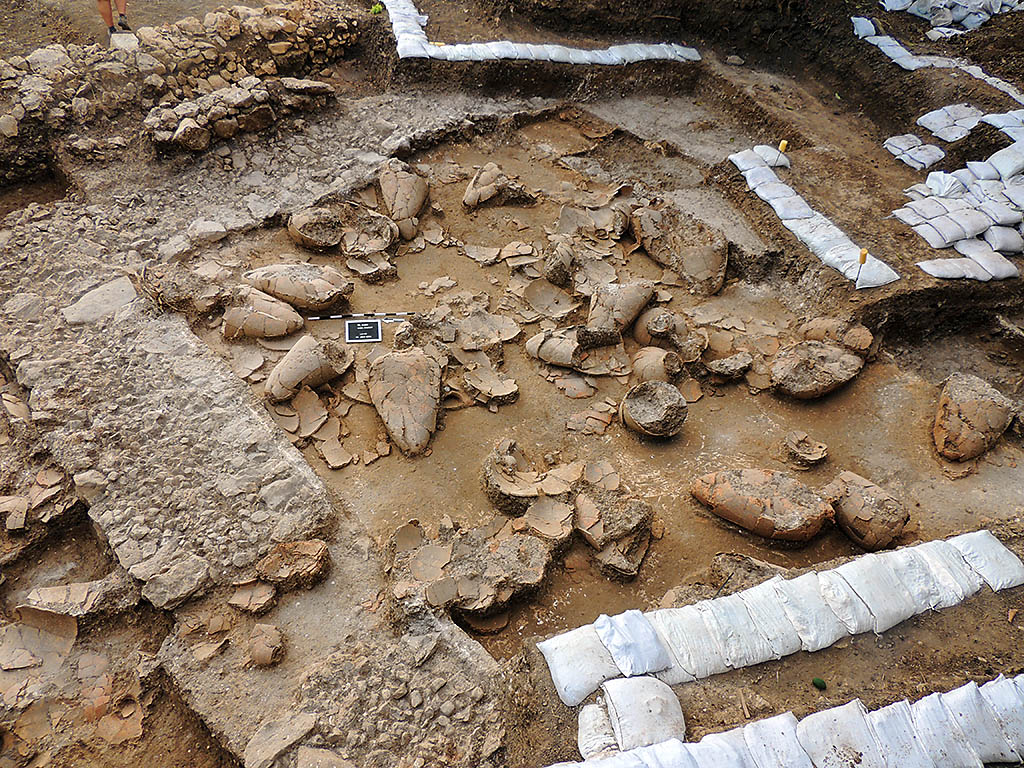
The “International Noah and Judi Mountain” symposium was held in Sirnak, Turkey, under the auspices of Sirnak University. One of the purposes of this conference was to set forth the case for Cudi Dagh, the mountain just to the south of Sirnak, as the landing-place of Noah’s Ark in South East Turkey. This mountain is not to be confused with the (late) traditional Mount Ararat, called Agri Dagh, in northeastern Turkey.

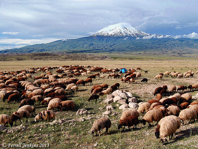
Traditional Mount Ararat (Agri Dagh) in north eastern Turkey. Photo by Ferrell Jenkins.
Interestingly, at this conference I learned of another mountain that allegedly Noah’s Ark landed on. It is located at Mount Gemikaya in Azerbaijan. By my count, that is the sixth mountain vying for the honors of this historical event: two in Turkey, three in Iran, and one in Azerbaijan. The Iranian and Azerbaijani sites are far outside the Land of Ararat / Urartu, and in the case of the Iranian sites, deep inside the Land of Media. We can safely dismiss these mountains as the place where Noah’s Ark landed according to the Bible. To be truthful, Agri Dagh must be dismissed as well because it is a post-Flood volcanic peak in a plain, and not within the “mountains (plural) of Ararat” (Gen. 8:4).
The Setting of the Symposium
The symposium was held at the Sehr-I Nuh Otel (translation: Noah’s City Hotel) in Sirnak, just north of Cudi Dagh (Cudi or Judi Mountain). This mountain is within the “mountains of Ararat” (Gen. 8:4) where Noah’s Ark landed. The facilities at the hotel were first class, the food was absolutely delicious, and we had a spectacular view of Cudi Dagh from the panorama view windows as we ate our meals.

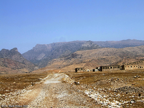
Cudi Dagh (Mount Judi). Photo courtesy of Dr. Mark Wilson.
Special thanks goes to Dr. Mehmet Ata Az, a philosophy professor at Sirnak University, for coordinating the speakers and making sure our needs were met. He truly has a servant’s heart and our best interest in mind. Thank you my friend!
— ♦ —
At this point Gordon gives a synopsis of select papers, including his own on the topic, “Did Sennacherib, King of Assyria, Worship Wood from Noah’s Ark?
Read the report in its entirety at Gordon’s Life and Land Seminars site. I think you will be profited, and perhaps enlightened, by doing so.


You must be logged in to post a comment.