
In 2005 a two-armed anchor was discovered on the shore of the Dead Sea, north of En Gedi. The materials associated with this anchor includes jujube wood, palm fiber, lead, iron, and bronze.
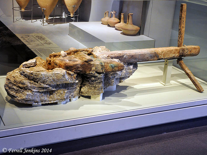
Two-armed anchor from the Dead Sea. Photo by Ferrell Jenkins.
The sign associated with this exhibit in the Israel Museum reads as follows:
In ancient times, the Dead Sea was an active sea route, used for the transportation of passengers as well as the agricultural products and natural resources for which the area was famous. This rare anchor, found on the Dead Sea shore, was made with the best of Hellenistic-Roman technology. Its size and style suggest that it belonged to a luxurious ship, one that may have been part of the royal fleets of King Alexander Jannaeus or Herod the Great, each of whom built palaces and fortresses near this Shore.
The anchor was found north of En Gedi and belongs to the period between the 2nd century B.C. and the 1st century A.D. The materials included in the anchor include jujube wood, palm fiber, lead, iron, and bronze.
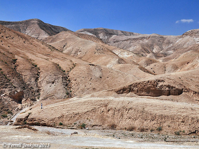
I understand that this anchor, and another one about 500 years older, was located because of the receding of the waters of the Dead Sea. Our photo shows a view of the western shore of the Dead Sea north of En Gedi. In the recent past the water covered the land we see here.
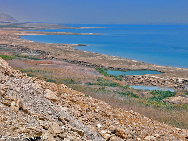
Western shore of the Dead Sea north of En Gedi. Photo by Ferrell Jenkins.
The Dead Sea is known as the Salt Sea in Genesis 14:3.


You must be logged in to post a comment.