
After the previous post I was ask how far the map extended. I have seen the map several times, but much of my detailed info comes from an article by Victor R. Gold: “The Mosaic Map of Medeba.” This article first appeared in Biblical Archaeologist, XXI.3 (Sept. 1958), pp.59-71. It was included in a 3-volume set called The Biblical Archaeologist Reader, vol. 3.
Here is a section on the extent of the Map:
“Except for the [third century] Tabula Peutingeriana [road map of the world], the Madeba map is the only map of ancient Palestine still in existence. The large remaining section extends from Aenon in the Jordan valley, or near it, in the north, to the Canobic branch of the Nile in the south. Not even this section is complete, however, the footing of one of the columns rests over a section of Judea from Eleutheropolis (Beit Jibin) to Ashdod and Beersheba.” (Campbell, Edward F., and David N. Freedman, editors. The Biblical Archaeologist Reader 3. First ed., vol. 3, Doubleday and Company, 1970, pp. 359-65, 3 vols.
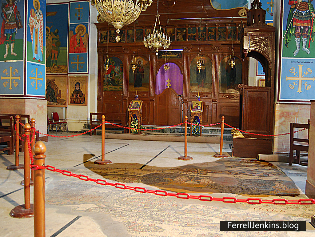
I am including a photo showing the actual size of the map in the church building floor at Madaba, Jordan. I have darkened the portion of the map that has been reconstructed there. We are not seeing all that is known to have existed. I have noted a small portion of the Nile Delta, and coastal towns such as Ashkelon and Ashdod. In my photos I can see mountains of Moab to the east, and Aenon in the northern Jordan Valley.
For the benefit of those who might like to see the size of the map in the Madaba church, I have darkened the map in the area that is cordoned off.
The Madaba Map is an amazing piece of work. It would be nice if we had one in the vestibule where I meet with Christians.

You must be logged in to post a comment.