
The Sea of Galilee is called the “lake Gennesaret” by Luke (Luke 5:1). The area on the northwest corner of the Sea of Galilee is called the “land at Gennesaret.” In the view below we see the land of Gennesaret and the Via Maris. The travel route here leads to the Beit Netofa Valley and the sites of Khirbet Cana, Sepphoris, Nazareth, Yodfat (Jotapata), and Ptolemais (Akko). Yodfat was fortified by Josephus during the Jewish revolt against Rome. Josephus, commander of the Jewish rebels, surrendered to the Roman Emperor Vespasian at Yodfat.
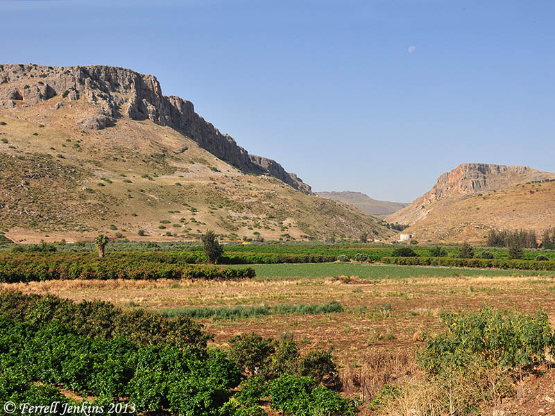
Mount Arbel and the Plain of Gennesaret. Photo by Ferrell Jenkins.
Many of the miracles of Jesus were performed in this area.
When they had crossed over, they came to land at Gennesaret. And when the men of that place recognized Him, they sent word into all that surrounding district and brought to Him all who were sick; and they implored Him that they might just touch the fringe of His cloak; and as many as touched it were cured. (Matthew 14:34-36 NAU)

You must be logged in to post a comment.